The Knoxville Commute Guide: Tourist corridors and local shortcuts
Commutes, congestion, transit, and parking: what getting around Knoxville really takes.


Mike, Our Local Expert Guiding Your Move
Michael is a Tennessee native who has lived, worked, or worn out tires in all three divisions of the state, from Memphis to Nashville to Johnson City, plus plenty of small towns that never make postcards. He once moved from the far northeast corner of Tennessee to the far southwest for college, stayed twenty years, then somehow boomeranged right back to Appalachia. He knows the difference between mountain quiet and river loud, will defend Memphis BBQ like its a birthright, and can point you to everything from out of the way eateries to where locals actually hunt. We are not all barefoot moonshiners, but yes, some of us know where the real stuff is. At Snappy Scout Michael uses that deep statewide mileage to refine Tennessee moving guides so they're as real as a proper BBQ smoke ring, not some oven baked liquid smoke waste of calories.
Read moreWritten with local insight from Snappy Scout relocation experts
How Do You Get Around Knoxville?
Commutes, congestion, transit, and parking: the daily logistics nobody puts on the listing.
The time I spend getting to/from work every day is
a breezy 15 minutes, especially if I take the I-640 northern loop, unless a Vols game exists; then all bets are off.
Traffic congestion areas to avoid
I-40 through downtown during literally any construction season (always), plus the Alcoa Highway, Pellissippi Parkway (I-140), wtretches south of Hardin Valley Road and north of George Williams Road, Chapman Highway (U.S. 441), and Kingston Pike.
Ability to get around without a car
Theoretically possible if you enjoy long walks and optimistic thinking about bus schedules.
Locals dream of driving around in a
lifted F-150 with a Power T decal covering the back window.
The reality is that most locals drive
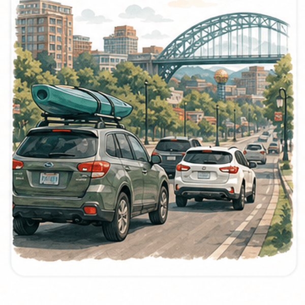
a Nissan Rogue or a Subaru Outback with kayak potential.
Quirky local driving habit
treating yellow lights as enthusiastic suggestions to floor it, and that signature 'one-finger wave' if you're stuck in traffic with any other college sports team's logo on your car.
The likelihood of finding parking
surprisingly easy except on football Saturdays when it's like The Hunger Games on steriods.
#1 driving tip
Accept that Henley Bridge will betray you when you're running late.
Where I Go for a Quiet Escape
When I need a little space to breathe, an overlook on House Mountain is my getaway. Only 30 minutes from Downtown Knoxville, the House Mountain trails lead you to Knox County’s highest point, with overlooks from the 2,100-foot crest. The 5.8 miles of trail are fairly steep, which means you'll likely be alone, especially during a weekday. My personal spot is the West End Overlook, with its views of the Cumberland Mountains to the north and the Smoky Mountains to the south. The downtown Knoxville skyline is just visible on the horizon.


— Mike Stover
Tennessee Local Expert


Ready to See If Knoxville Fits You?
Compare neighborhoods, check the routes, or head back to the full Knoxville guide for the bigger picture.