Six Forks Neighborhood Guide
Six Forks is one of Raleigh's most reliably convenient corridors, running along Six Forks Road from Lynn Road north toward Falls of Neuse, with established neighborhoods spreading east toward Strickland Road and west toward Lead Mine. The area is defined in large part by its commercial density, with grocery stores, big-box retailers, restaurants, and service businesses packed tightly enough that most daily errands can be handled within a short drive. Families and long-term residents tend to stay because the infrastructure is genuinely complete, not just close, covering the kind of practical everyday needs that make a neighborhood easy to live in. The tradeoff is Six Forks Road itself, which carries enough traffic that drive times can run longer than the map suggests, particularly during peak hours. The overall character is unambiguously suburban, built around convenience and function rather than walkability or a distinct town-center feel, and residents here tend to appreciate it on exactly those terms.
Where SUVs Outnumber Forks 6 to 1
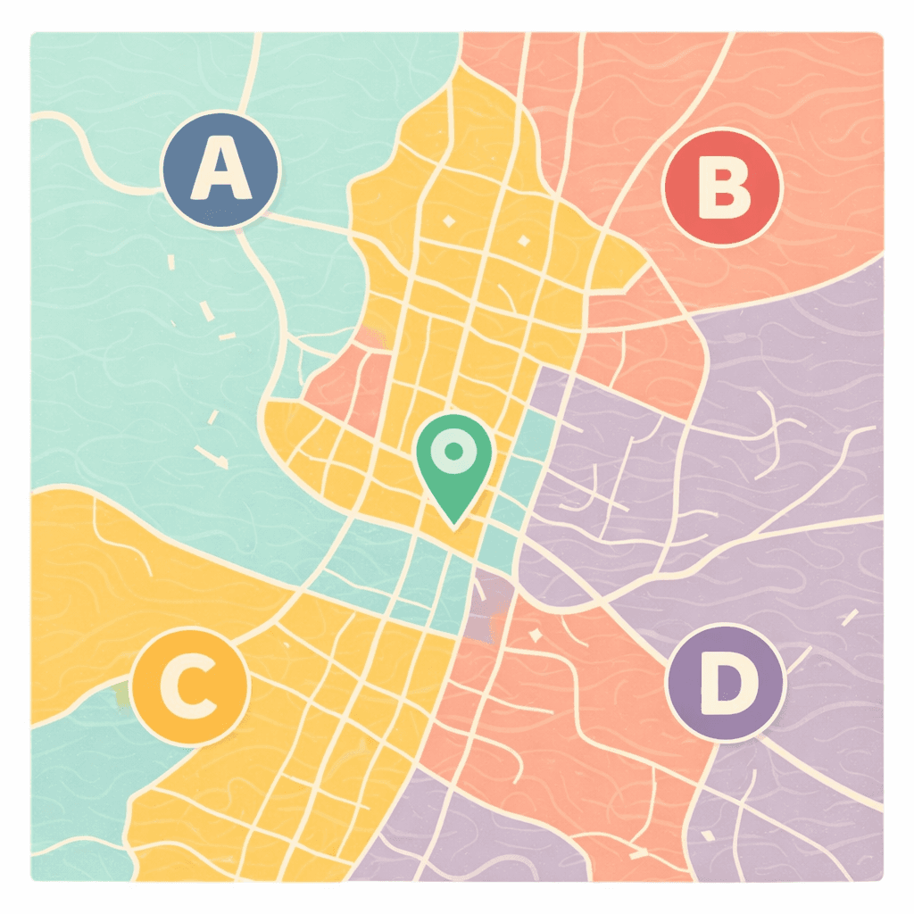
🧭Generally defined as the area: Stretching along Six Forks Road from Lynn Road up to Falls of Neuse, with neighborhoods spilling east toward Strickland and west toward Lead Mine
📌Best known for: Retail clusters that make errands an extreme sport
👕You'll fit in if: Your weekend plans involve Target runs and Costco samples
👍Locals live here because: Everything you need is just five minutes away (by car)
👎The downside to Six Forks is: Six Forks Road traffic that laughs at your ETA
✨The overall feel is: Suburban convenience with zero apologies
Pros & Cons of Six Forks
Six Forks strengths (top 5)


Six Forks tradeoffs (top 3)

Which Raleigh neighborhood should you live in?
Answer a few quick questions and we'll show you your best matches.
Six Forks Neighborhood DNA

Families who get oddly excited about a well-stocked produce section