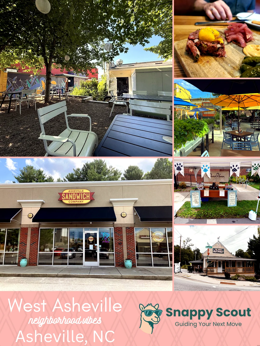
West Asheville Neighborhood Overview
Fleetwood's Vows & Sunny Point Lines
🧭Widely recognized as the place for: Haywood Road murals, tacos, and thrifted gold
📌You can spot a West Asheville local by: a reusable coffee cup, a farmer's market tote bag, or a Subaru dusted with pawprints
👕Move here for: walkable vibes, patio lifestyle, and bluegrass leaking from garages
👍Don't say we didn't warn you about: weekend traffic on Haywood, street parking hunger games
👎The general vibe is: funky, porchy, beer soaked, dogtown
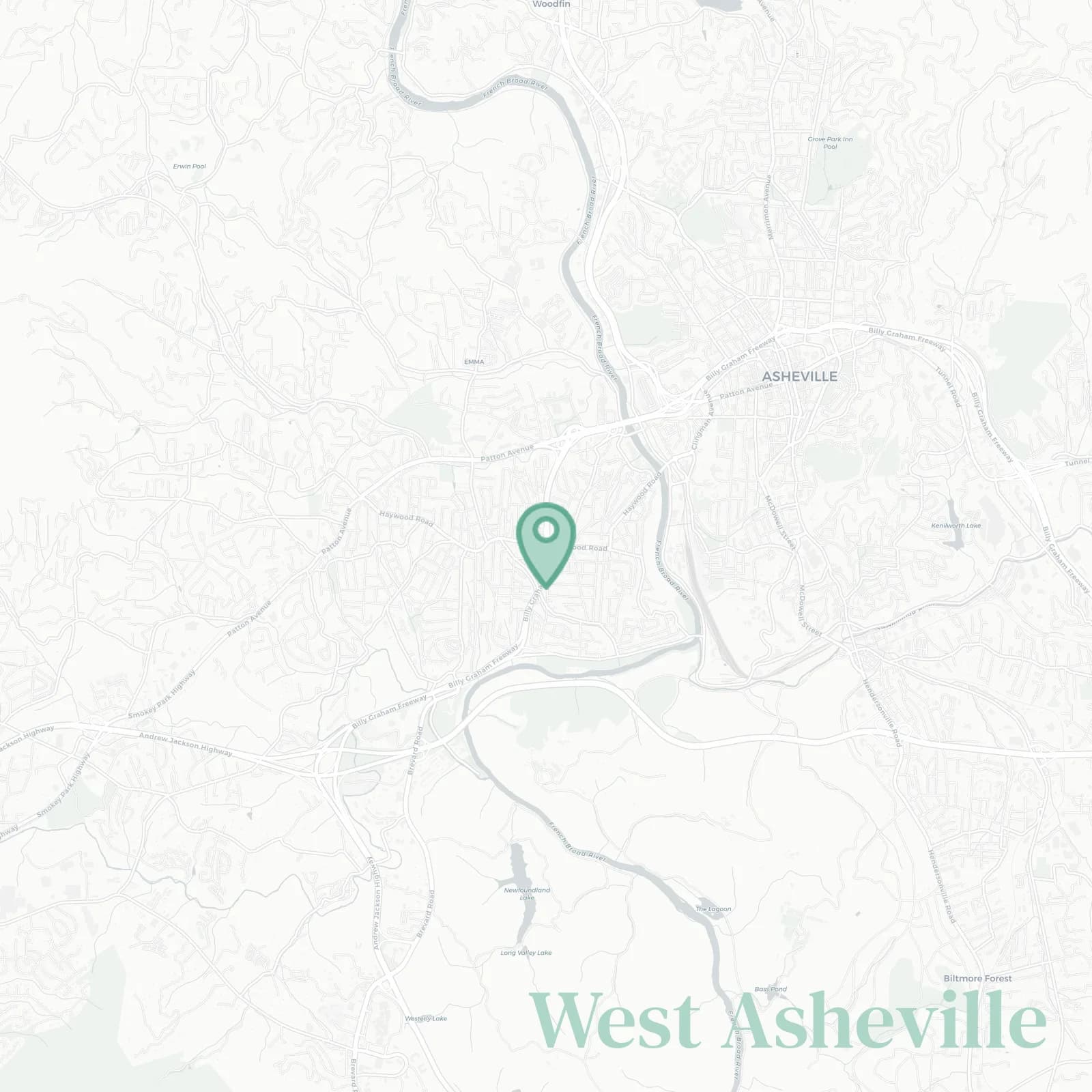
✨Generally defined as the area: east by the French Broad River and the River Arts District; south along Amboy Road greenway and Carrier Park looping the river bend; west to Sardis Road and the I-26 Smokey Park Highway interchange by Asheville Outlets; north along Patton Avenue, New Leicester Highway, and the river near Emma

breakfast tacos, backyard chickens, and front porch coffee breaks