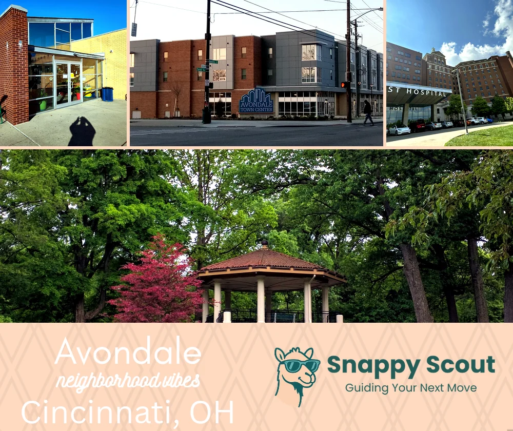
Avondale Neighborhood Overview
Zoo-Roar Alarm Clocks, Reading Road Stoops
🧭Generally defined as the area: Mitchell Avenue and the St Bernard border to the north, Reading Road and I-71 to the east, Martin Luther King Drive to the south, Vine Street, Burnet Avenue, and the Cincinnati Zoo grounds to the west
📌Best known for: Cincinnati Zoo roars that echo through the whole neighborhood at feeding time, and the occasional escaped peacock on Erkenbrecher
👕The neighborhood stereotype is: Sunday hats, weekday scrubs (healthcare workers everywhere), lifelong neighbors who've known each other since grade school
👍Locals live here because: big porches, big hearts, small mortgage and proximity to everything without downtown prices
👎Don't say we didn't warn you about: zoo traffic on nice weekends when the parking lot overflows, sirens as a constant background soundtrack from the hospitals and fire stations
✨The vibe around Avondale is: historic lively neighborly slightly wild

Zoo adjacent living where peacock screams wake you up better than any alarm, porches, park views