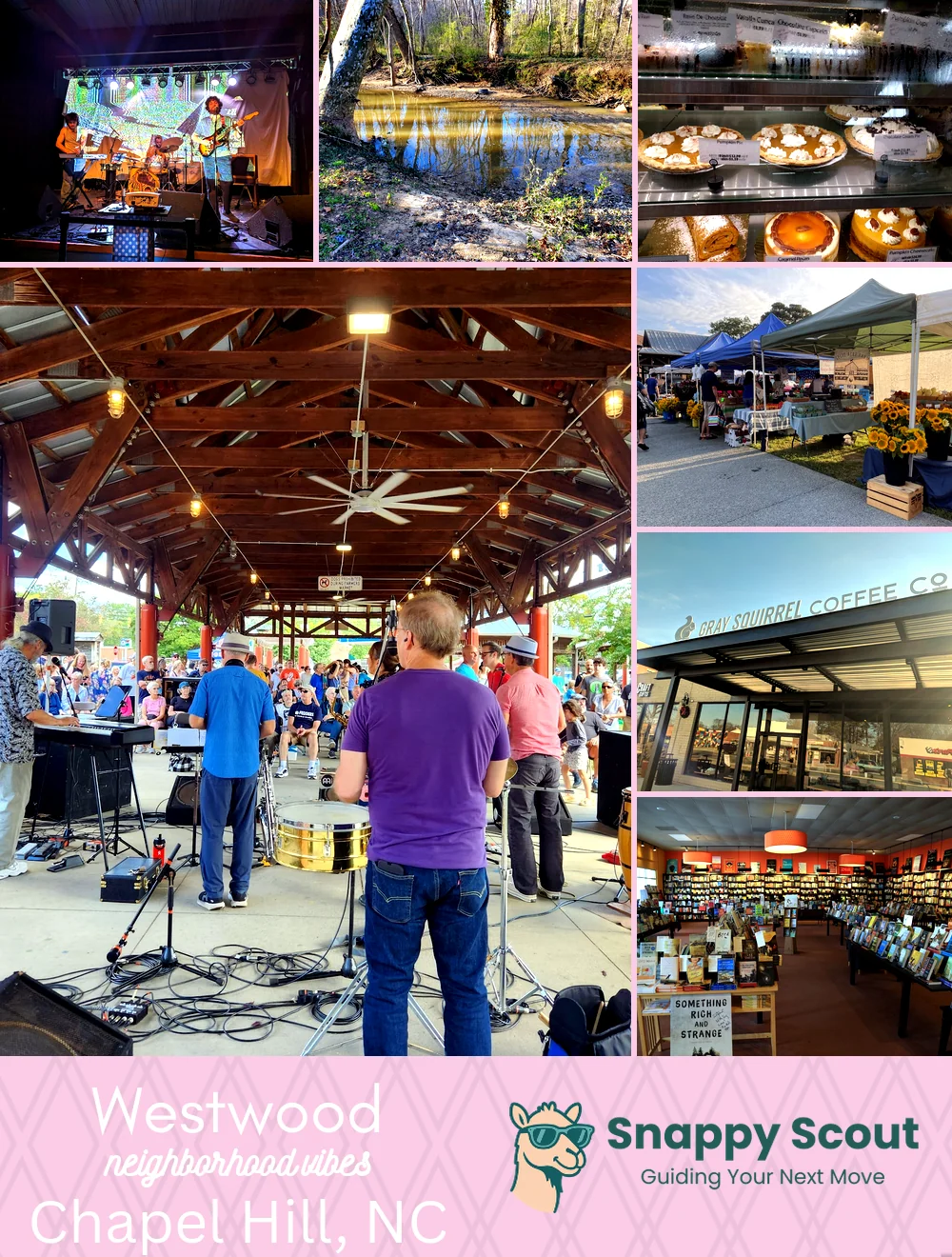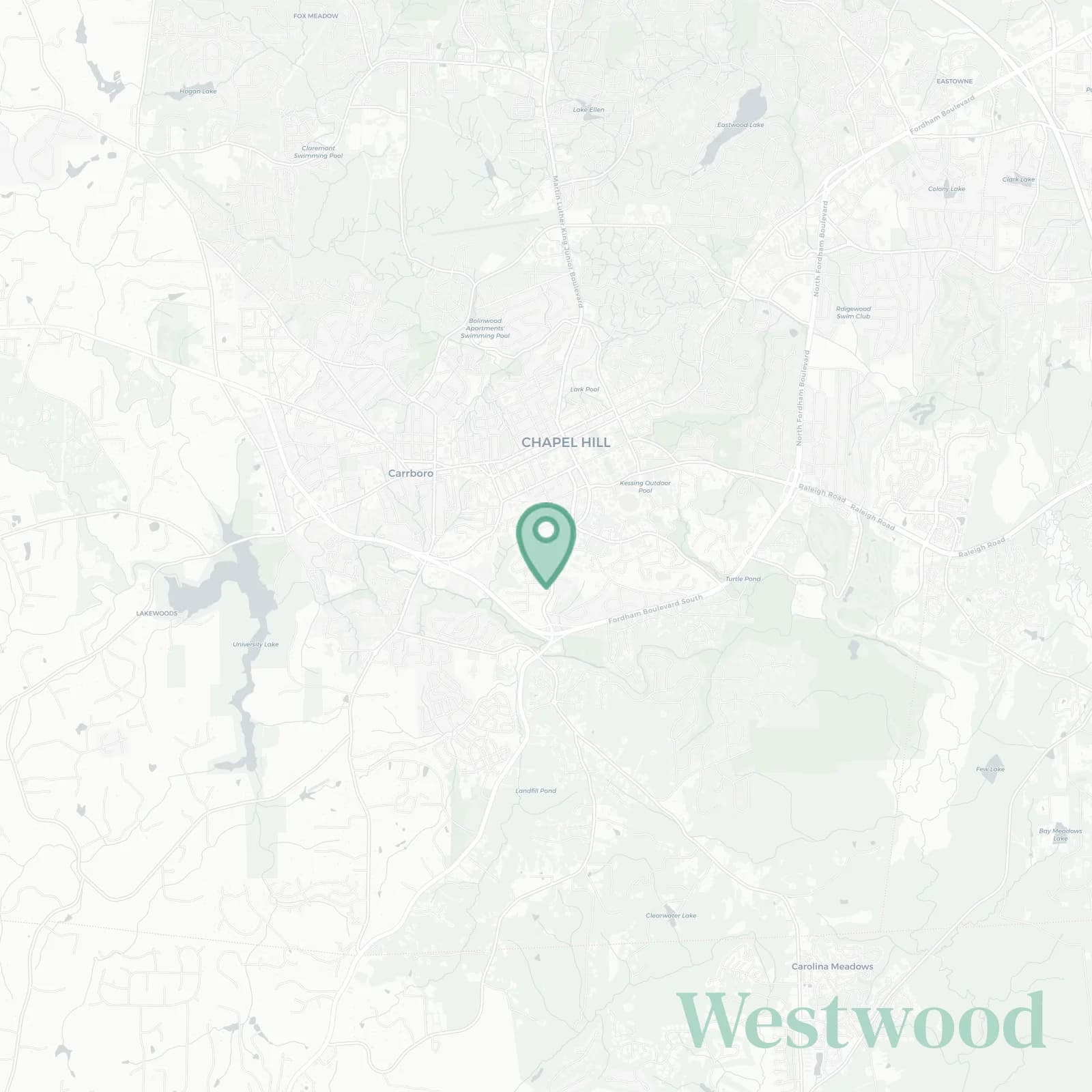
Westwood Neighborhood Overview
20of 24 Chapel Hill Neighborhoods
Leafy, Professor-Packed, Blue-Cup Porches
🧭Generally defined as the area: North by West Cameron Avenue and McCauley Street, east by South Columbia Street and UNC campus edge, south by Purefoy Road and Old Pittsboro Road, west by South Merritt Mill Road and the Carrboro town line
📌Best known for: Centennial oaks, creaky porches, Halloween pumpkins the size of small cars
👕You can spot a Westwood local by: Birkenstocks, battered bike, and pocketed acorns for no apparent reason
👍Move here for: five-minute ambles to Franklin Street and impromptu campus lectures
👎The downside to Westwood is: game day traffic, parking showdowns, midnight house party ruckus
✨The overall feel is: shady, scholarly, and Tar Heel smug

front porch loungers and UNC superfans