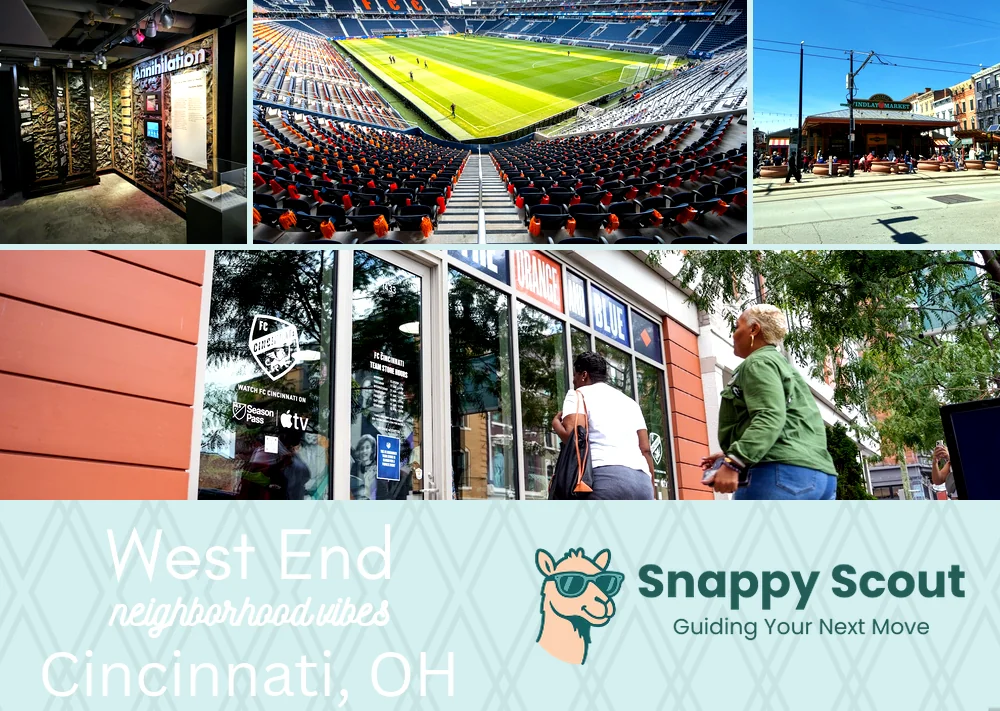
West End Neighborhood Overview
TQL Roar, Millionaire’s Row, West End Grit
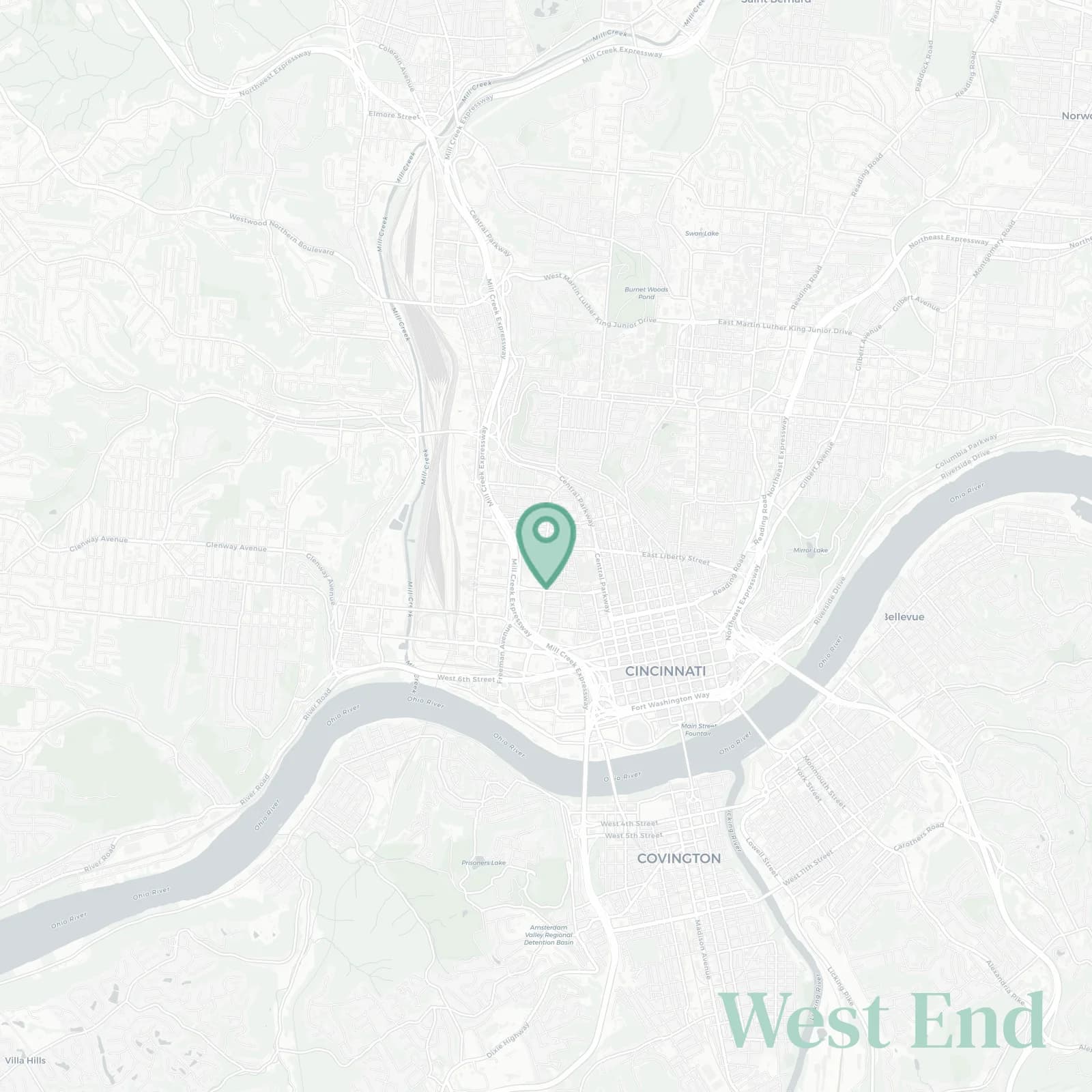
🧭Bordered by: Central Parkway east facing Over the Rhine, Ezzard Charles Drive and Gest Street south along Queensgate, Interstate 75 with the Mill Creek west, Hopple Street and the Brighton railroad viaduct north toward Camp Washington
📌Widely recognized as the place for: FC Cincinnati chants that shake the entire neighborhood on game nights and brick swagger from mansions that survived urban renewal, barely
👕You can spot a West End local by: FCC scarf, porch throne, neighbors knowing every auntie and her business going back three generations
👍Move here for: walkable games, murals galore, soul food that hugs at places like Senate that'll ruin all other hot dogs for you
👎Don't say we didn't warn you about: game day traffic when 25,000 fans descend on the neighborhood, scarce parking hat disappears entirely on match days, trains whispering at 3am. By whispering we mean blasting horns
✨The general vibe is: vintage grit meets soccer sparkle

stadium roars, stoopside gossip, block legends who remember when this was the wealthiest black neighborhood in America