Diane Briante profile picture
Diane Briante
New Jersey Local Expert

Last Modified: January 22, 2026

Weequahic map

Weequahic Neighborhood Overview

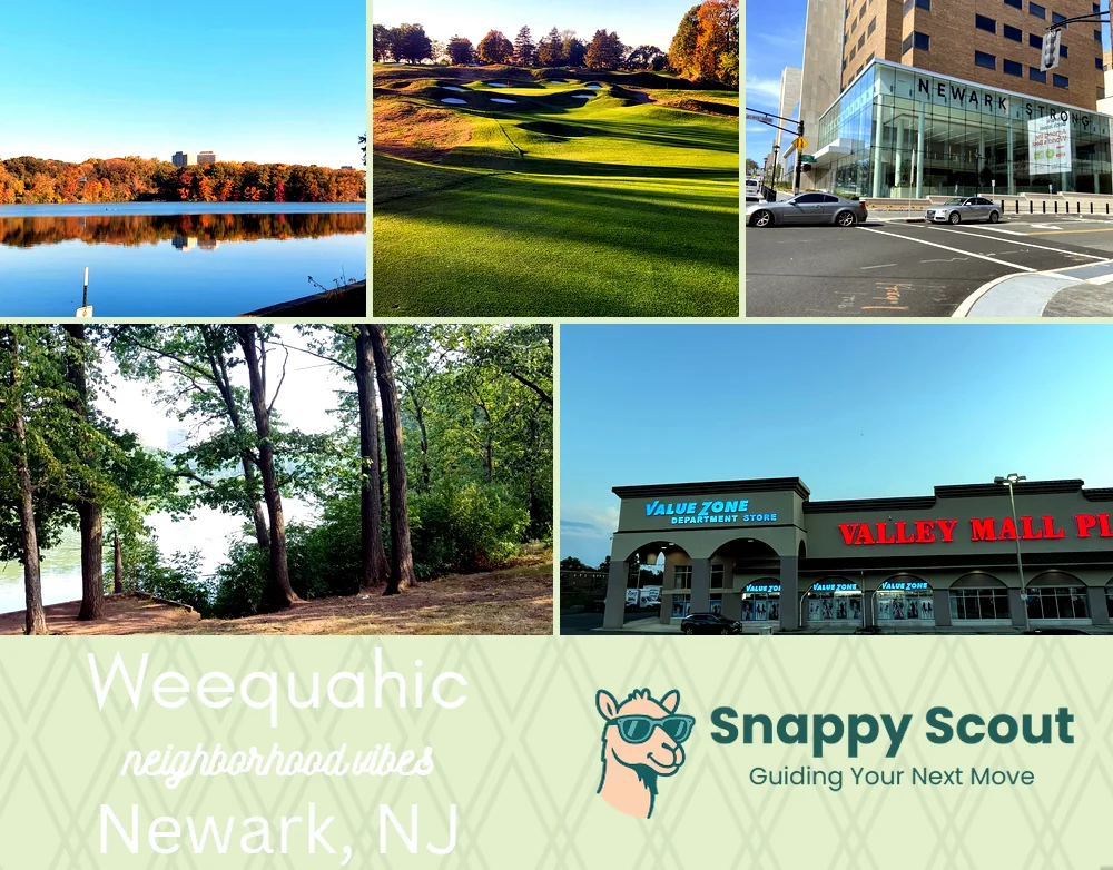
Roth Lore, Olmsted Park, Swaggering Geese

🧭Bordered by: Lyons Avenue and Chancellor Avenue to the north, Elizabeth Avenue and the Hillside border to the west, US Route 22 and the Elizabeth city line to the south, Frelinghuysen Avenue and the rail yards beside Newark Liberty International Airport to the east

📌Well known for: Philip Roth lore and Weequahic Park loops

👕You can spot a Weequahic local by: porch hellos, track star strides, Beth Israel scrubs

👍Locals live here because: quiet blocks, loud barbecues, instant airport access

👎Don't say we didn't warn you about: flight noise and race day jams

The overall feel is: parkside nostalgic, chatty, athletic practical

Neighborhood Hotspots: Weequahic Park, Beth Israel Medical Center, Lyons Avenue shops

Olmsted sunsets and legendary gossip

Weequahic neighborhood photo collage
Some of the Weequahic hotspots include: Clinton Avenue Corridor, Weequahic Park Golf Course, Newark Beth Israel Medical Center, Weequahic Park Running Track, and Chancellor Avenue Shopping District.
Diane Briante profile picture

Diane Briante New Jersey Local Expert

At Snappy Scout, I combine lived experience with real neighborhood data to cut through the hype and help you make clearer decisions about where to move.

Snappy Scout logo

Moving to Weequahic - Make Sense Of Your Next Move

Whether you're new to Newark or deciding which part of the city fits you best, Snappy Scout cuts through the noise and shows you what living here is really like. If you're still finding your way, start with our Moving to Newark guide for the big-picture view — or compare Weequahic against other parts of the city in our Newark neighborhood guide.