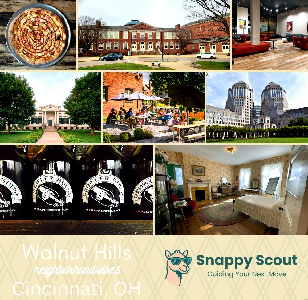
Walnut Hills Neighborhood Overview
Peebles Corner, Esoteric-Brewed Buzz
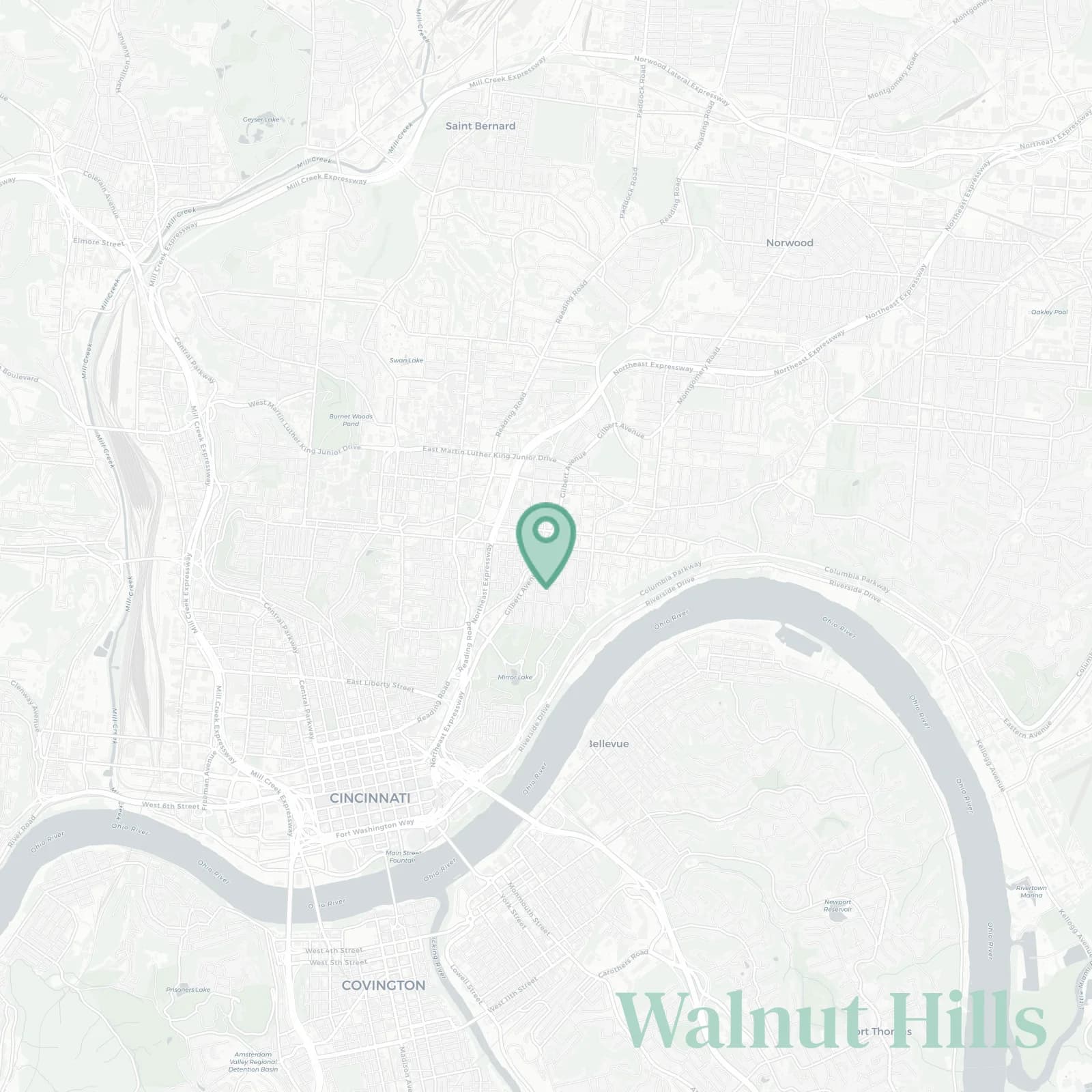
🧭Bordered by: Martin Luther King Jr Drive East to the north, Interstate 71 to the east, East McMillan Street and William Howard Taft Road to the south, Gilbert Avenue to the west, with the Eden Park bluff and Victory Parkway rounding the southwest edge
📌Best known for: Peebles Corner where the old department store building is finally coming back to life, Paramount Square, Esoteric Brewery nights n the patio with surprisingly good pizza
👕You can spot a Walnut Hills local by: tote bag, library card, arguing transit routes because the streetcar doesn't come here and that's a whole thing
👍Move here for: grand brick flats with original woodwork that'll make you weep and Eden Park sunsets a five-minute walk away
👎Don't say we didn't warn you about: one way confusion on McMillan and Taft where GPS tries to kill you daily
✨The general vibe is: gritty chic with optimism

porch philosophers and architecture nerds who love Italianate details and potential