Waipahu Neighborhood Overview
16of 54 Oahu Neighborhoods
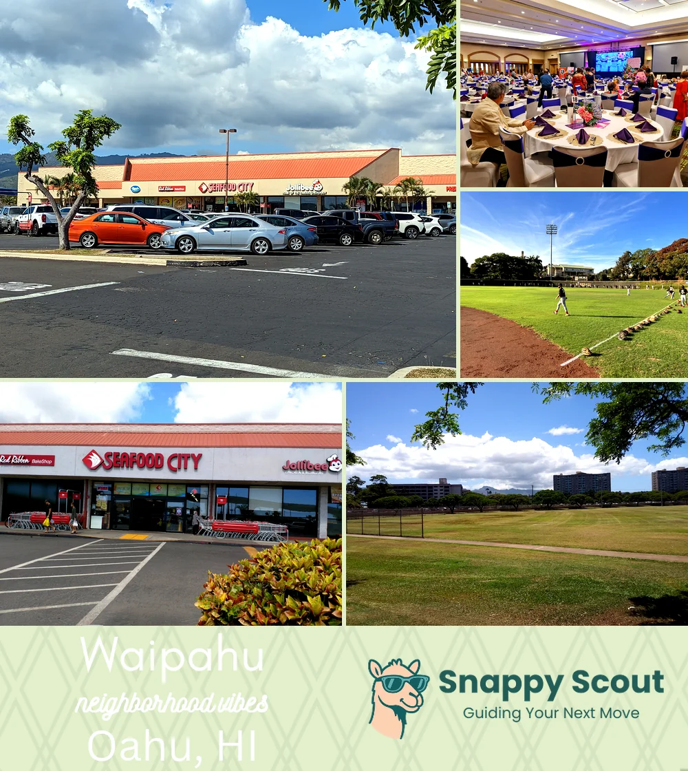
Sugar Roots, Adobo Streets, Tanioka’s Queue
🧭Bordered by: H1 to the north, West Loch of Pearl Harbor to the south, Kunia Road and Village Park to the west, Waikele Stream, Waikele, and Kamehameha Highway near Waipio to the east.
📌Widely recognized as the place for: Plantation roots, lechon daydreams, and waiting in line at Tanioka's.
👕You'll fit in if: Slippers, softball visor, and cooler in the truck bed.
👍Locals live here because: Big families, bigger potlucks, and proximity to Costco.
👎Be prepared for: Farrington traffic and rooster alarm clocks.
✨The overall feel is: Gritty, hungry, family-first, traffic.

Tanioka's loyalists and plate lunch warriors.