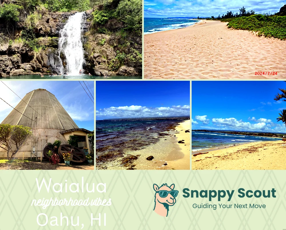
Waialua Neighborhood Overview
40of 54 Oahu Neighborhoods
Team Tacoma, Sugar Mill Shapers, Lesser-Known Surf
🧭Generally defined as the area: Kaiaka Bay and Waialua Bay, east along Haleiwa Road and Kamehameha Highway into Haleiwa, makai of Kaukonahua Road and the Waianae Range foothills near Helemano, west toward Mokuleia along Farrington Highway past Dillingham Airfield.
📌Best known for: Classic sugar mill, coffee beans, surfboard shapers, tractor sunsets.
👕You'll fit in if: You can sand fiberglass or harvest mangoes between swells.
👍Locals live here because: Backyard lychee, empty dawn lineups.
👎The downside to Waialua is: Gusty trade winds and a long way from everything.
✨TLDR: Barefoot agricultural surf town.

Barefoot romantics, quiet surf (when the trades calm down), unapologetically early nights.