Rachael Riner profile picture
Rachael Riner
North Carolina Local Expert

Last Modified: January 11, 2026

Town Mountain map

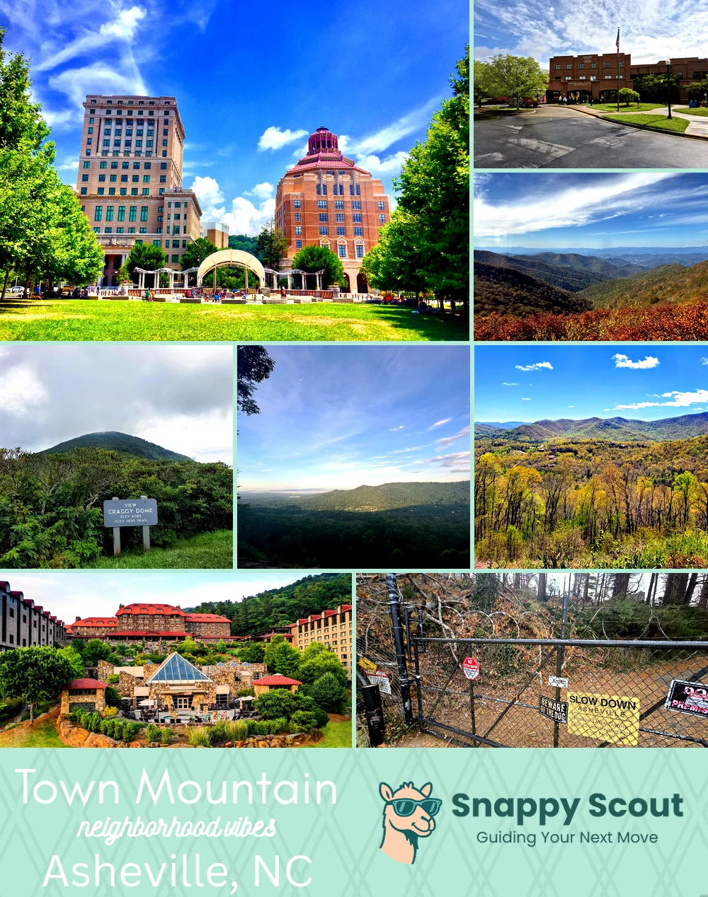
Town Mountain Neighborhood Overview

Hairpin High, BRP-Quick, Skyline Sips

🧭Well known for: mountain critter cameos and glittering nightscapes

📌You'll fit in with: a fleece vest, Subaru, and sunset calendar

👕Move here for: Blue Ridge bragging rights and hushed hilltop nights

👍Be prepared for: icy mornings and hairpin commutes

👎The vibe around Town Mountain is: lofty, woodsy, understatedly luxurious
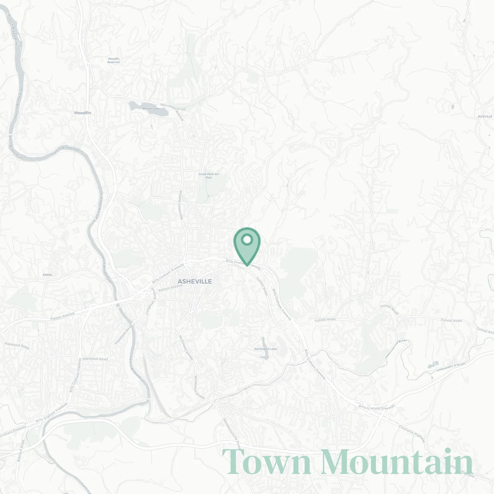
Geographically defined by: Charlotte Street and College Street at the downtown base to the west, I-240 with Beaucatcher Mountain and Tunnel Road to the south, Sunset Mountain and Patton Mountain ridgeline above Albemarle Park to the north, and Town Mountain Road ascending to the Blue Ridge Parkway at Craven Gap to the east

dizzy skyline selfies and bear lore

Town Mountain neighborhood photo collage
Some of the Town Mountain hotspots include: Pack Square Park (nearby), Asheville Visitor Center (nearby), Craggy Gardens (nearby), Craggy Pinnacle Trail (nearby), and Ox Creek Overlook.
Rachael Riner profile picture

Rachael Riner North Carolina Local Expert

At Snappy Scout, I combine lived experience with real neighborhood data to cut through the hype and help you make clearer decisions about where to move.

Snappy Scout logo

Moving to Town Mountain - Make Sense Of Your Next Move

Whether you're new to Asheville or deciding which part of the city fits you best, Snappy Scout cuts through the noise and shows you what living here is really like. If you're still finding your way, start with our Moving to Asheville guide for the big-picture view — or compare Town Mountain against other parts of the city in our Asheville neighborhood guide.