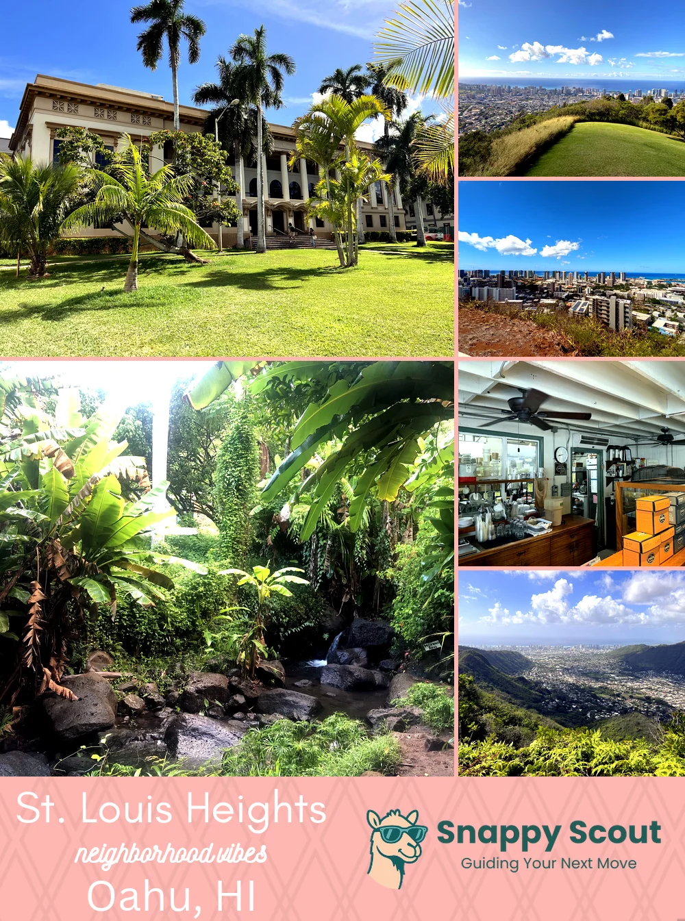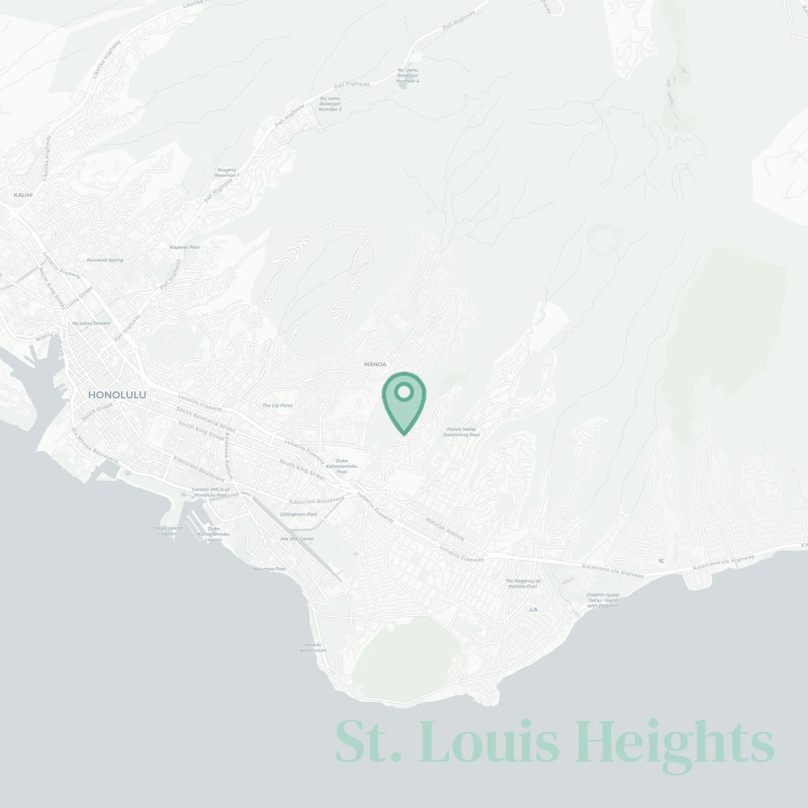
St. Louis Heights Neighborhood Overview
50of 54 Oahu Neighborhoods
Rainbow-Fueled Quads, Diamond Views, UH
🧭Geographically defined by: Waialae Avenue and Saint Louis School at the base, St. Louis Drive switchbacks climbing to Waahila Ridge State Recreation Area, Palolo Valley and Pukele Stream to the east, Manoa Valley slopes to the west, ridge crest along the north.
📌Widely recognized as the place for: City lights, Diamond Head selfies, driveway workouts.
👕You can spot a St. Louis Heights local by: Calves of steel, UH hoodies, Costco membership.
👍Locals live here because: Trade wind breezes, quick UH commutes, lanai sunsets.
👎Don't say we didn't warn you about: Hairpin turns, scarce parking, roosters at all night long.
✨TLDR: Leafy leg day paradise.

Sunset chasers, hill sprints, UH tailgates.