Southwest Bakersfield Neighborhood Overview
Oil Pumps Fade Out and Cul-De-Sacs Take Over
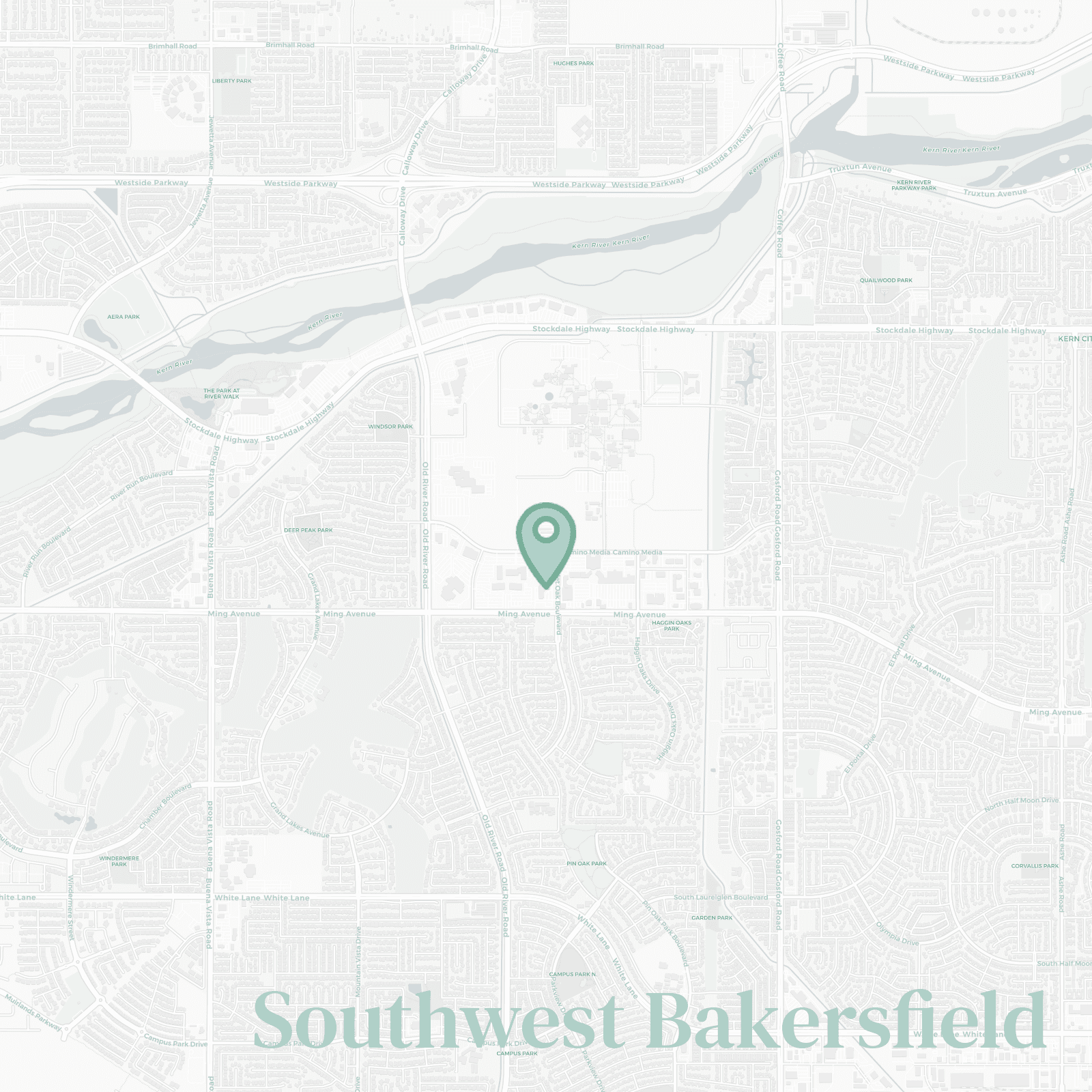
🧭Generally defined as the area: west of Highway 99, south of the Kern River and White Lane, stretching toward Stockdale Highway and Seven Oaks... basically where everyone eventually ends up.
📌Best known for: tract homes with actual yards and schools people fight over during enrollment season.
👕You'll fit in if: you own a Costco membership and use it weekly (sometimes twice… no shame).
👍Move here for: newer builds where the AC works and HOAs keep things tidy whether you like it or not.
👎Don't say we didn't warn you about: the soul crushing sameness of every beige stucco block and getting lost in your own neighborhood the first month.
✨The general vibe is: suburban order with cul de sac energy: safe, quiet, and extremely predictable.

families who want space, newer homes, and zero downtown chaos

