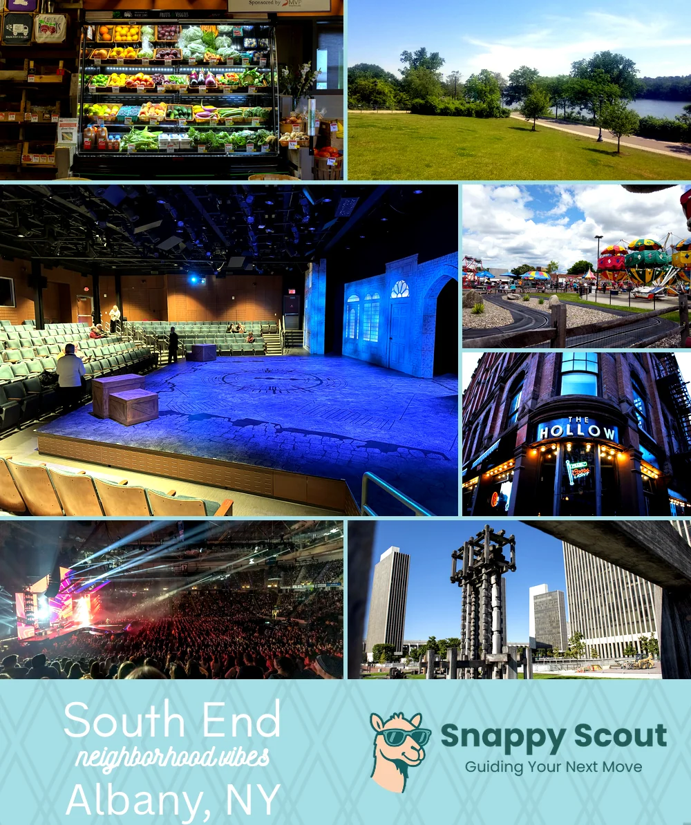
South End Neighborhood Overview
7of 20 Albany Neighborhoods
Grit + Green: Stoops, Murals, Radix Hens
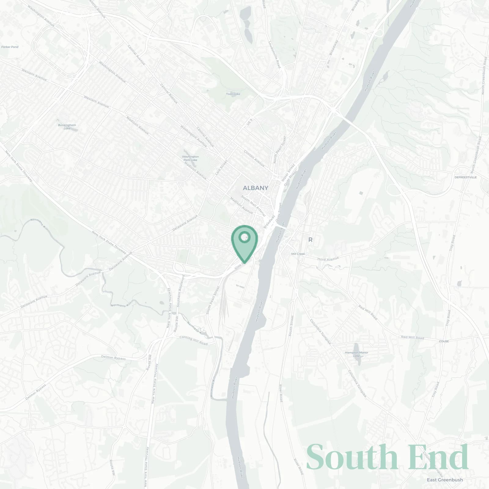
🧭Geographically defined by: Madison Avenue and Empire State Plaza to the north, I-787 along the Hudson River to the east, Normans Kill and the city line near Glenmont to the south, Delaware Avenue and Martin Luther King Jr Boulevard to the west
📌Best known for: Lincoln Park cannonballs, port cranes, South Pearl eats, City Line Tavern
👕You'll fit in if: you love porch talk and union hoodies
👍Locals live here because: rents behave, neighbors remember birthdays, historic sites nestled in an urban landscape
👎The downsides are: 3am train horns, salt crust winters, pothole roulette, some socioeconomic downsides
✨The vibe around South End is: historic grit with porch laughter

stoop sitters, brownstone gawkers, Capitol nerds