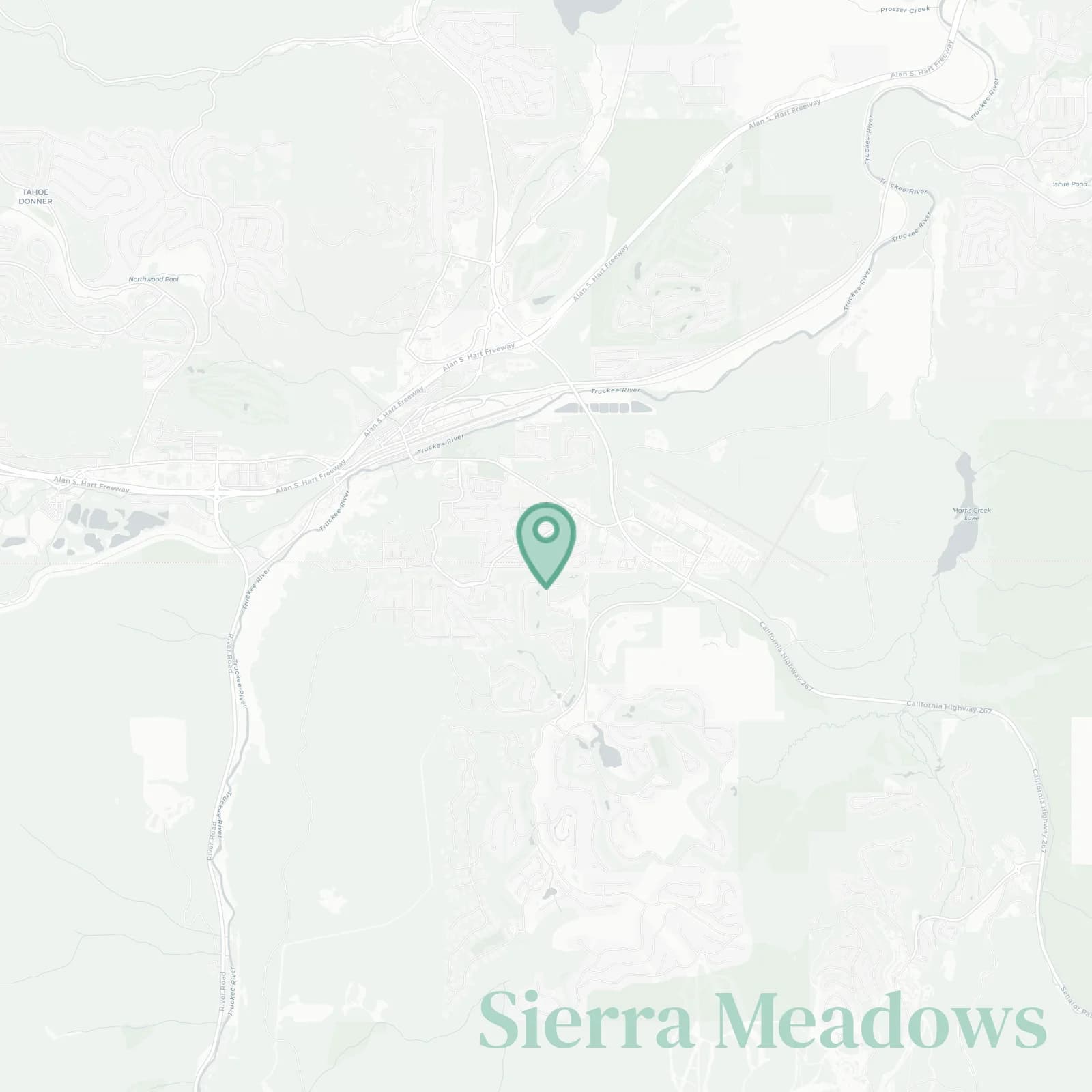
Sierra Meadows Neighborhood Overview
11of 16 Truckee Neighborhoods
Flat, Sunny—Bocce, Brews, Jet Flybys
🧭Geographically defined by: Brockway Road and Truckee Regional Park to the north, Union Pacific tracks and the Truckee River to the south, Ponderosa Golf Course and airport open space to the east, Highway 89, River Street, and the Downtown railyard edge to the west
📌Well known for: neighborhood golf carts without golf swings and everyone knowing everyone’s dog
👕You'll fit in if: you own more bikes than chairs and your garage is a constant project
👍Move here for: sunshine, kid bikes, river paths, downtown tacos
👎Be prepared for: airport buzz, train horns, occasional bear breakins
✨The general vibe is: sunny, neighborly, yard games

gear piles and yard pingpong