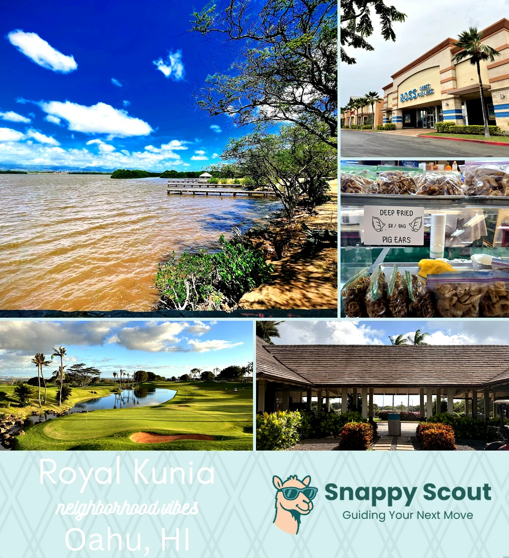
Royal Kunia Neighborhood Overview
48of 54 Oahu Neighborhoods
Mauka Breezes, HOA Lawns, Kunia Road Flex
🧭Geographically defined by: H1 Freeway and Farrington Highway to the south, Kunia Road to the west, Kunia agricultural lands and Schofield Barracks East Range to the north, Village Park, Waipahu neighborhoods, and Waikele Gulch to the east.
📌Best known for: Royal Kunia Country Club, views for days.
👕You can spot a Royal Kunia local by: Clay red slippers and trunk full of Costco groceries.
👍Move here for: Roomy cul de sacs and breezy trade winds.
👎The downsides are: Afternoon Kunia Road crawl, red dirt.
✨The overall feel is: Suburban plateau with sneakily epic sunsets.

Backyard sunset flex and Costco hauls.