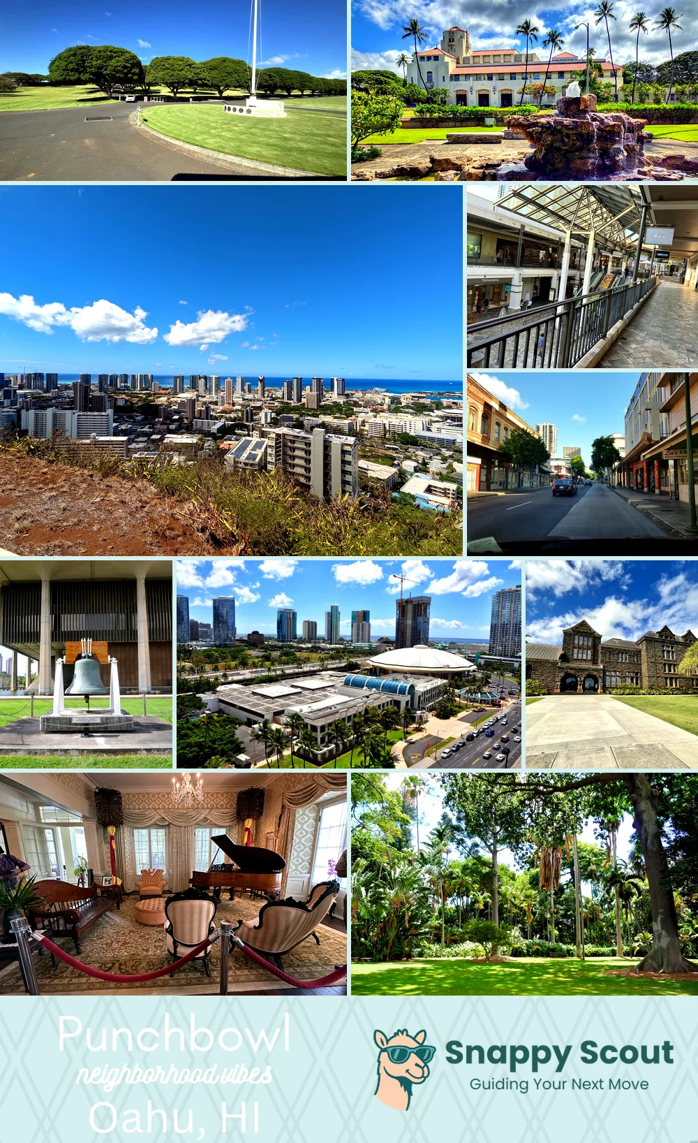
Punchbowl Neighborhood Overview
36of 54 Oahu Neighborhoods
Skyline, Solemn Stones, Aunties Walking the Crater
🧭Bordered by: H1 to the south, Ward Avenue and Pensacola to the east, Tantalus and Round Top Drive to the north, Pauoa and Pacific Heights to the west—flowing down Punchbowl Street and Lusitana into downtown and Queens Medical Center.
📌Widely recognized as the place for: Rainbow sunsets and hushed cemetery mornings.
👕You can spot a Punchbowl local by: Slippers at sunrise, pau hana hangs in medical scrubs.
👍Move here for: Central location and killer New Years fireworks.
👎The downsides are: Parking nightmare, early morning sirens, and steep streets.
✨The overall feel is: Historic, hilly, quiet.

Sunset gawkers and health care workers with mountain-strong legs.