Price Hill Neighborhood Overview
Incline Views, Elder Chants, Porch Pride
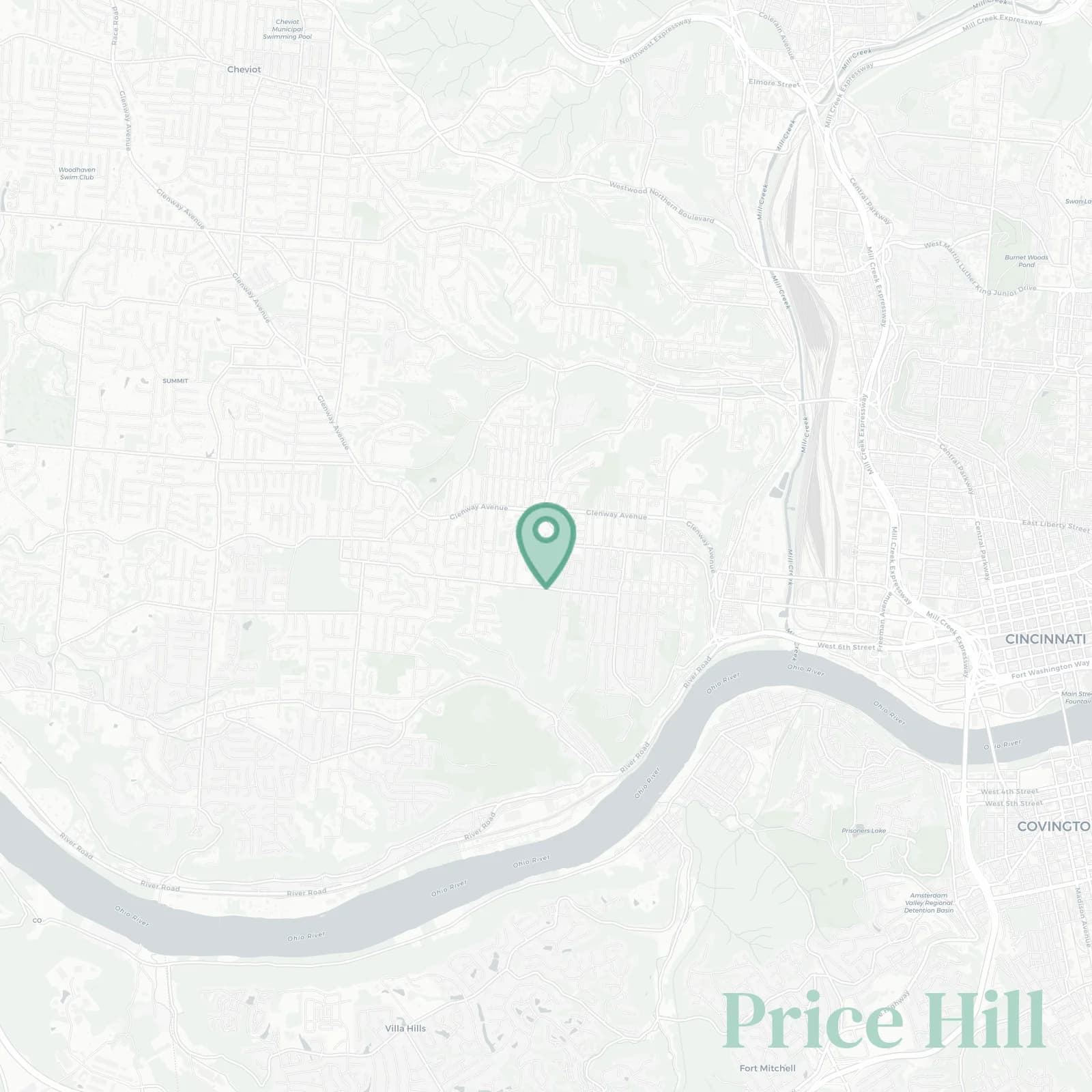
🧭Generally defined as the area: Sedamsville and Riverside along River Road US 50 and the Ohio River to the south, Mill Creek valley with the Eighth Street Viaduct and I-75 by Queensgate to the east, Westwood and East Westwood along Westwood Avenue and Harrison Avenue to the north, Delhi Township line near Anderson Ferry Road and Muddy Creek to the west
📌Best known for: Incline District views from where the old incline used to run before 1943, Price Hill Chili the third option in the chili wars, porch stoops gossip where everyone knows your cousin
👕You can spot a Price Hill local by: Elder purple, Seton green, ask what high school first because that's how West Siders identify each other forever
👍Locals live here because: A porch with skyline, mortgage cheaper than brunch, like actually affordable even on single income
👎Don't say we didn't warn you about: Hill climbs that'll destroy your transmission eventually, Glenway traffic crawling bumper to bumper, train horns echoing from the valley, West Side stubbornness about everything
✨The general vibe is: Blue collar glow up views and pride that runs deep even when the neighborhood's rough around the edges

Skyline sunsets and unapologetic three way loyalties where Skyline vs Gold Star actually matters