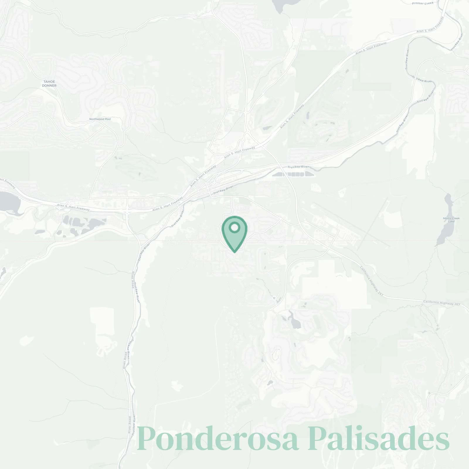
Ponderosa Palisades Neighborhood Overview
13of 16 Truckee Neighborhoods
Sawtooth Laps, Bear-Box Chic
🧭Geographically defined by: north by Ponderosa Golf Course and timbered open space, south by Brockway Road and Highway 267, west by Sierra Meadows and residential streets off Palisades Drive, east by Truckee Tahoe Airport, Soaring Way, and Martis Valley meadows
📌Widely recognized as the place for: sneaky trail access, fairway evenings, and bikes abandoned mid-driveway
👕You can spot a Ponderosa Palisades local by: Subarus with roof boxes, sawdust hair, and trail dusted dogs
👍Move here for: plows before dawn and sunsets that linger
👎The downside to Ponderosa Palisades is: airport touch and go symphonies
✨The vibe around Ponderosa Palisades is: piney calm, bikes humming

backyard pines, coffee breath, and bike rack envy