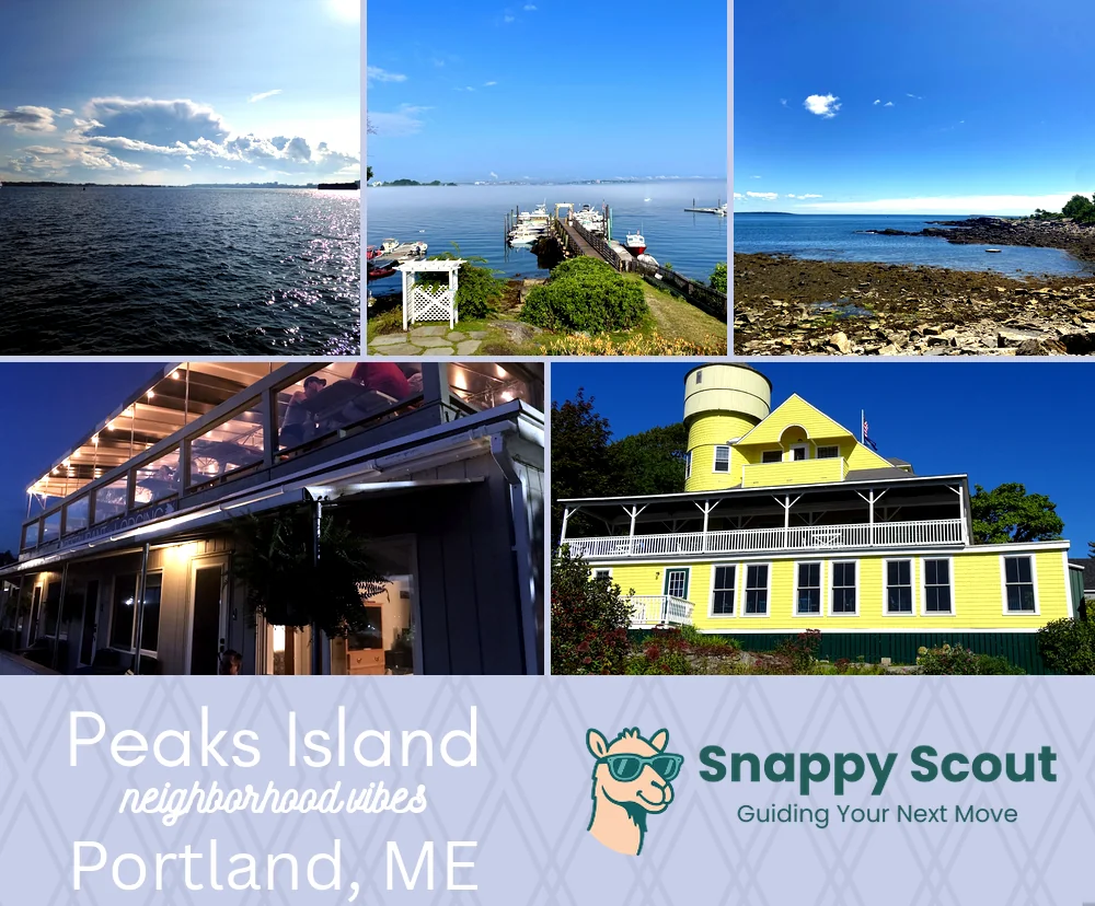
Peaks Island Neighborhood Overview
Ferry Life, Golf Carts, Battery Steele
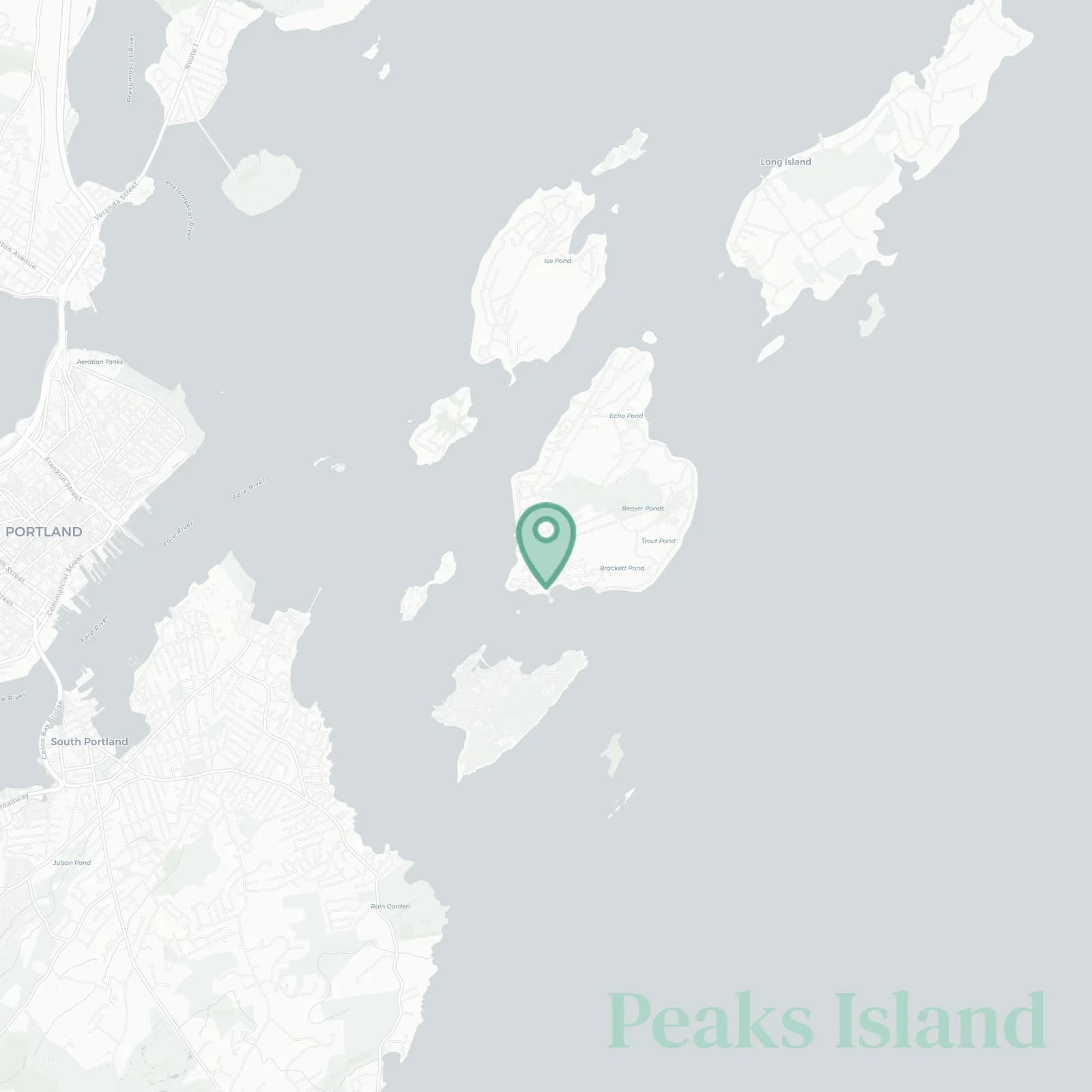
🧭Bordered by: Casco Bay on all sides, with Diamond Passage and Little Diamond Island to the northwest, Portland Harbor to the west, Cushing Island and Ram Island Ledge to the south, the Backshore along Seashore Avenue facing Hussey Sound and Long Island to the east, Peaks Island Ferry Landing at Welch Street anchoring the north
📌Widely recognized as the place for: Golf carts, Battery Steele, Cairns, sea glass hunts
👕You can spot a Peaks Island local by: Xtratufs, a paint-splattered hoodie, island car, knowing every ferry captain, ferry terminal leaps
👍Locals live here because: Salt air, silence at night, neighbors who wave
👎Don't say we didn't warn you about: Ferry schedules control your life and every grocery run
✨The general vibe is: Artsy, sleepy, off-the-grid-but-not-really, summer circus

Lobster roll purists and sunset paparazzi