Pastures Neighborhood Overview
Dutch Roots, Brick Stoops, The Egg Peeking
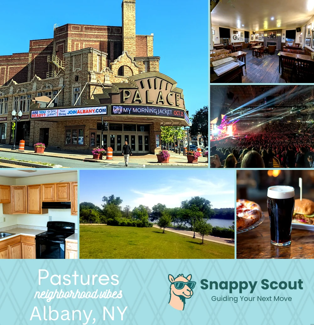
🧭Generally defined as the area: Madison Avenue north, South Pearl Street west, Broadway and I-787 east, Hamilton and Westerlo Streets south, under Empire State Plaza's looming edge
📌Widely recognized as the place for: Brick rowhouses, Dutch ghosts, stoops trading Capitol secrets
👕You can spot a Pastures local by: Bike bell, tote bag, preservation rant, Cider Belly box
👍Locals live here because: Walk to Capitol commutes and Saturday farmers market hauls
👎Don't say we didn't warn you about: I-787 hum, tricky parking, winter wind tunnels off river
✨The overall feel is: Brick nostalgia urban calm nearby, small in size but big in Albany's history
Fun Fact: Pastures got its name from literally being a grazing area for cows and other animals in its early existence

History crushes and stoop sitters chasing river breezes