Greg Reid profile picture
Greg Reid
Maine Local Expert

Last Modified: January 11, 2026

Parkside map

Parkside Neighborhood Overview

Hadlock Booms, 3-Deckers, Snow-Ban Grit

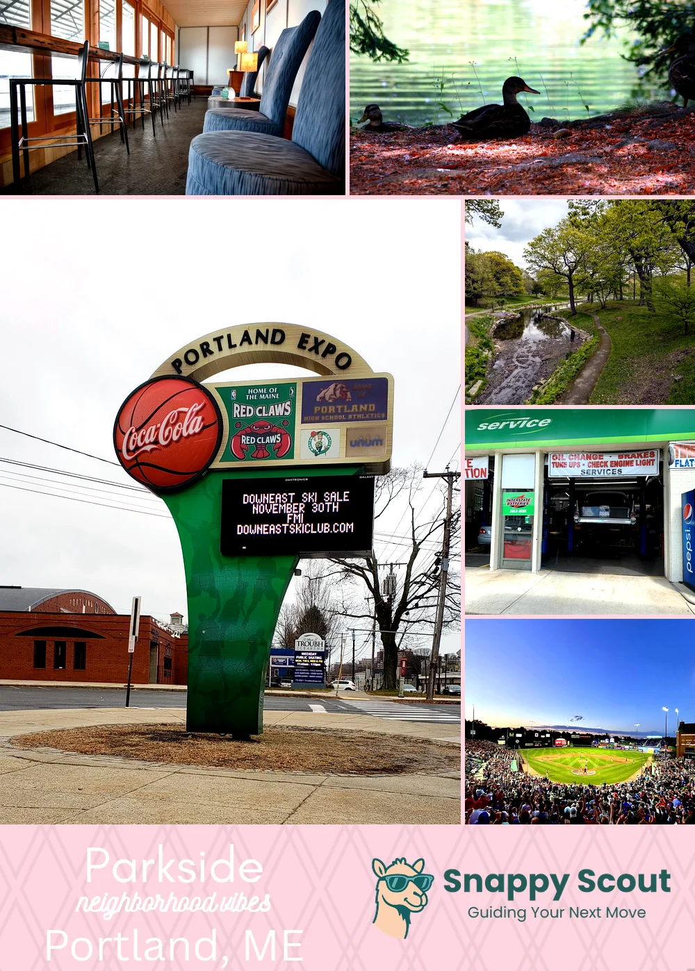
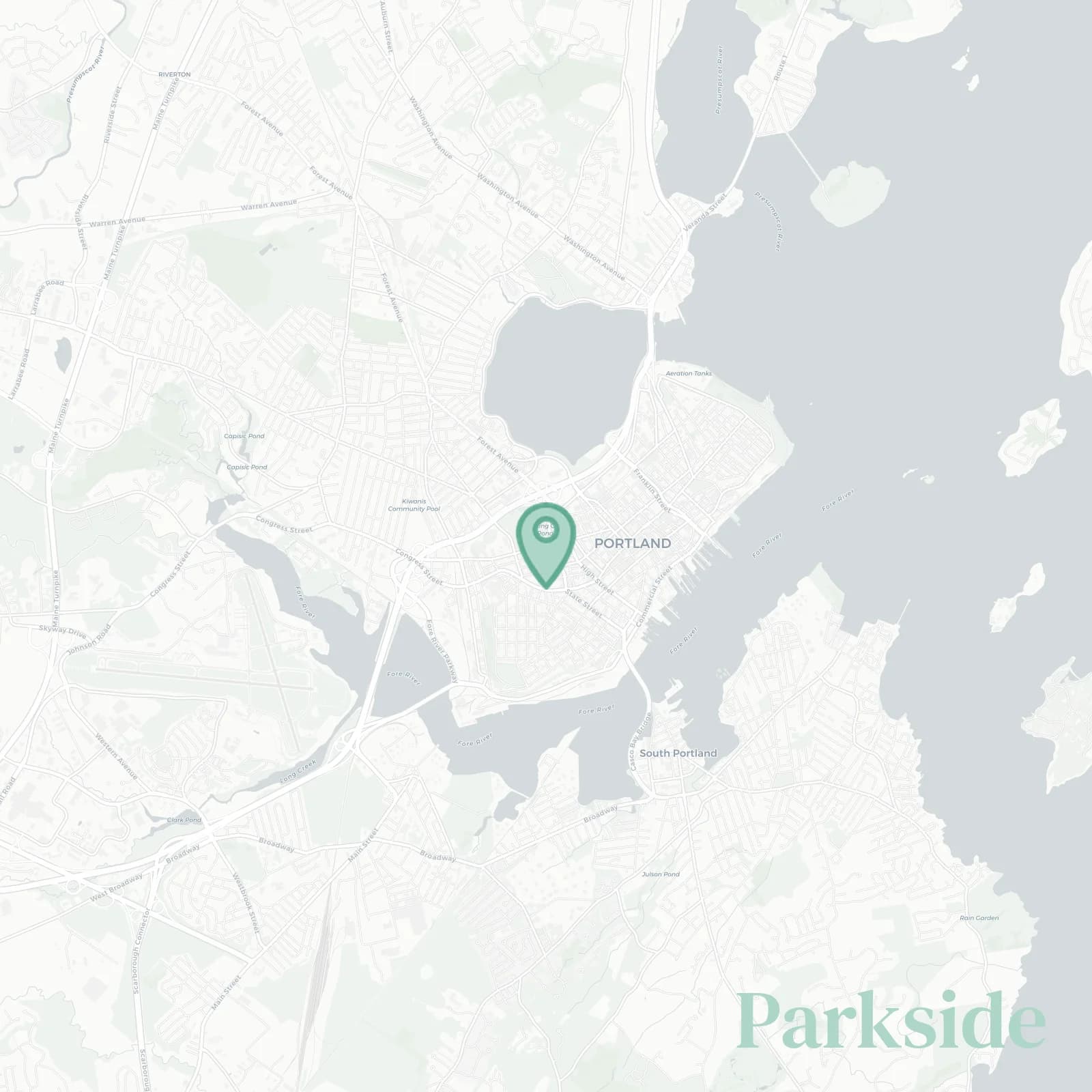
🧭Geographically defined by: I-295 to the north, St John Street to the west, Congress Street to the south, and Forest Avenue to the east, wrapping around Deering Oaks and the Portland Expo

📌Widely recognized as the place for: Deering Oaks farmers market, volleyball pits, pro sports teams

👕You can spot a Parkside local by: Bike basket of kale, Sea Dogs cap, rent control

👍Locals live here because: Huge park, walk to downtown, the game and USM, stupidly convenient bus routes

👎The downsides are: Sirens, game night traffic, and parking bans on snowy nights

The overall feel is: Leafy, lively, occasionally chaotically charming

bargain Victorians, ramen runs, foul balls

Parkside neighborhood photo collage
Some of the Parkside hotspots include: The Rink at Thompson's Point (nearby), Evergreen Cemetery, Portland Exposition Building, Deering Oaks Park, and Portland Farmers' Market (Deering Oaks).
Greg Reid profile picture

Greg Reid Maine Local Expert

At Snappy Scout, I combine lived experience with real neighborhood data to cut through the hype and help you make clearer decisions about where to move.

Snappy Scout logo

Moving to Parkside - Make Sense Of Your Next Move

Whether you're new to Portland or deciding which part of the city fits you best, Snappy Scout cuts through the noise and shows you what living here is really like. If you're still finding your way, start with our Moving to Portland guide for the big-picture view — or compare Parkside against other parts of the city in our Portland neighborhood guide.