Pacific Heights Neighborhood Overview
Mauka Switchbacks, Friday Fireworks
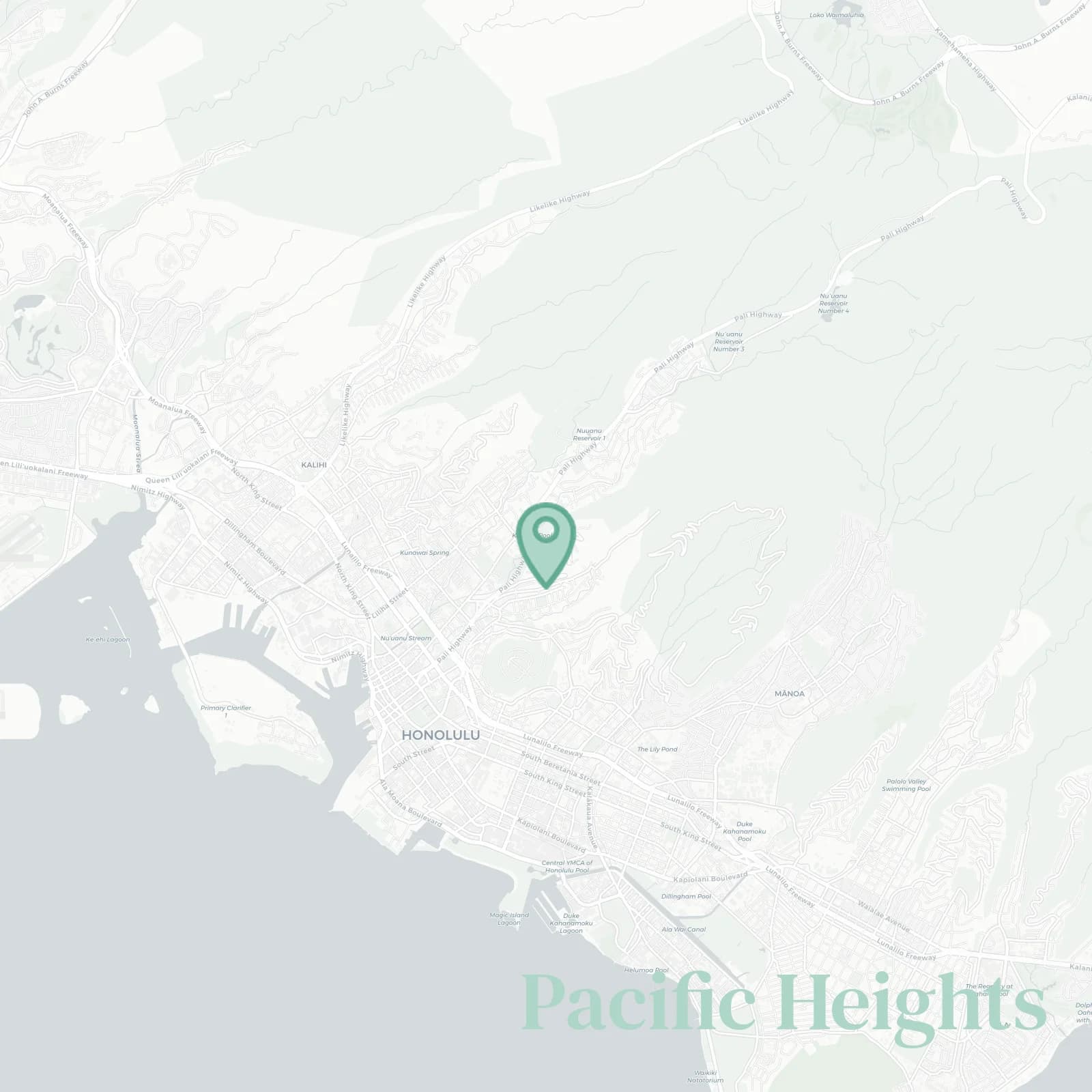
🧭Generally defined as: The steep ridge between Nuʻuanu Valley and Pauoa Valley, rising mauka from Vineyard Boulevard and Nuʻuanu Avenue to the Tantalus forest reserve and Round Top Drive crest, bounded to the east by Pali Highway and Nuʻuanu Pali Drive, and to the west by Pauoa Road, Booth Road, and the Pacific Heights Road Ridgeline.
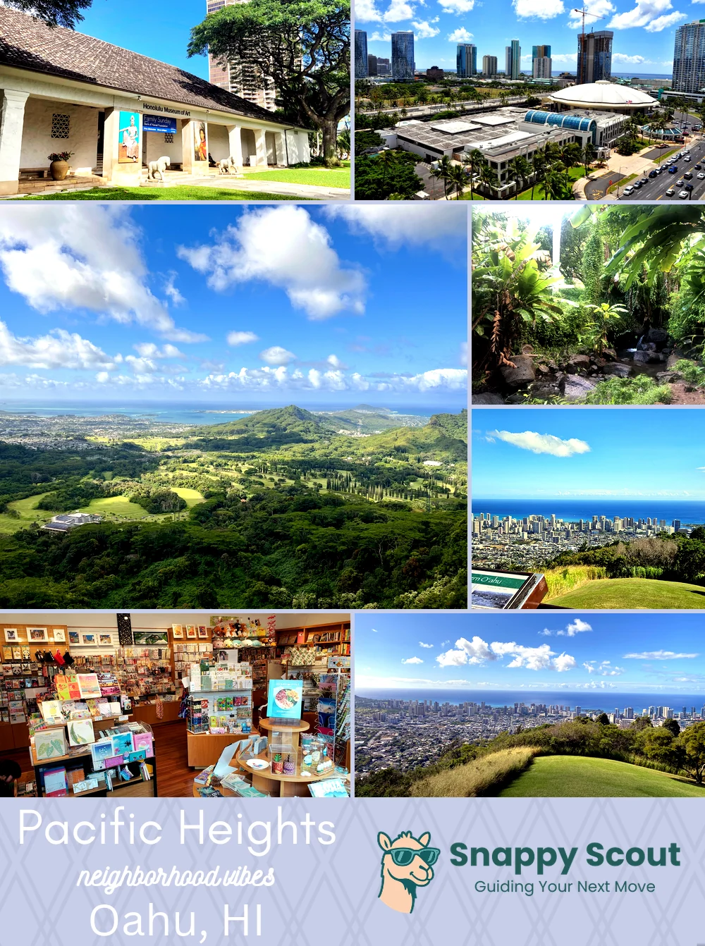
📌Well known for: Diamond Head-to-harbor panoramas from lanais.
👕You can spot a Pacific Heights local by: Parking uphill sideways, passionately discussing trade wind cross-breeze.
👍Locals live here because: Cooler nights, quick downtown access, views that keep guests happy.
👎Be prepared for: Hairpin turns, driveway gymnastics, surprise showers, geckos everywhere.
✨The general vibe is: Old money ridge, breezy, smug.

Mornings above the clouds, nights above city sparkle.