Olowalu Neighborhood Overview
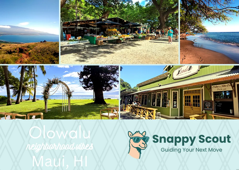
Leoda's Pies, MM14 Reef, Turtle Rush Hour
🧭Bordered by: Pacific Ocean along Olowalu Reef, roughly mile markers 14 to 16 on Honoapiilani Highway, Ukumehame Stream and gulch to the southeast, Launiupoko Stream and Launiupoko Beach Park to the northwest, and inland by Olowalu Valley up to the West Maui Forest Reserve ridgeline of Mauna Kahalawai.
📌Widely recognized as the place for: Shallow coral gardens, turtles, and Leoda's pie detours.
👕You can spot a Olowalu local by: Dusty trucks, reef-safe sunscreen, pastry crumbs.
👍Move here if you want: Sunrise paddles, pie for lunch, Lahaina errands without drama.
👎Don't say we didn't warn you about: Afternoon winds, zero sidewalks, highway hum.
✨The overall feel is: Salty, sunfaded, unhurried, sweet tooth.

Leoda's pie pilgrims, reef addicts, turtle paparazzi.