Oakley Neighborhood Overview
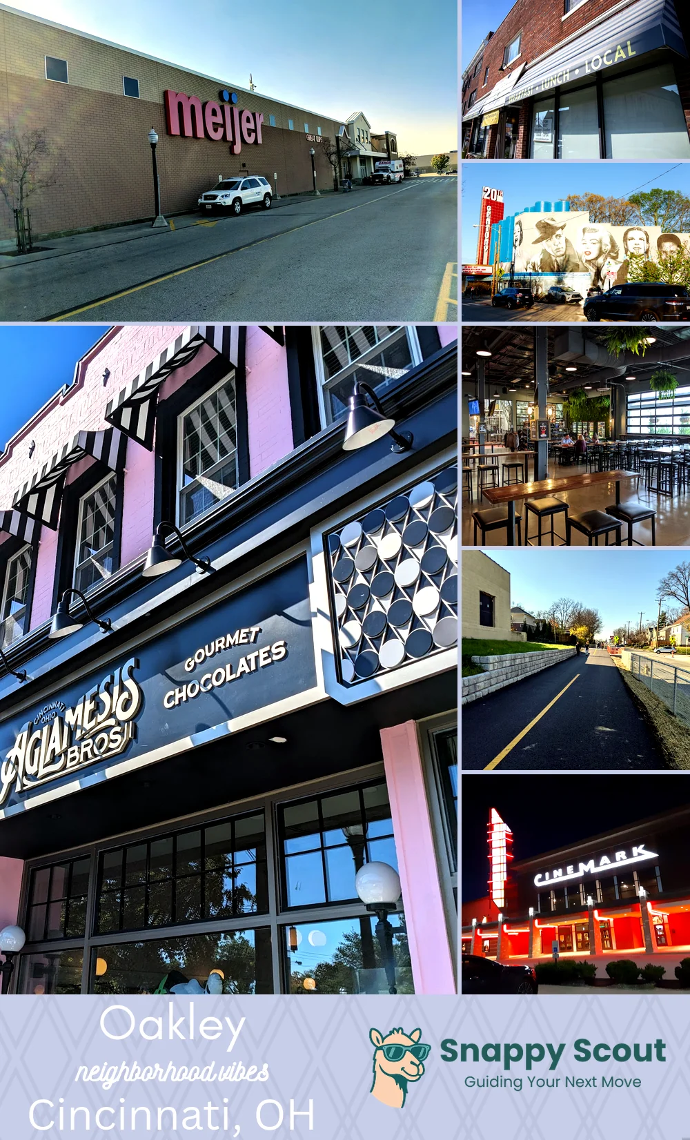
Graeter's Scoops, MadTree Pints, Square Glow
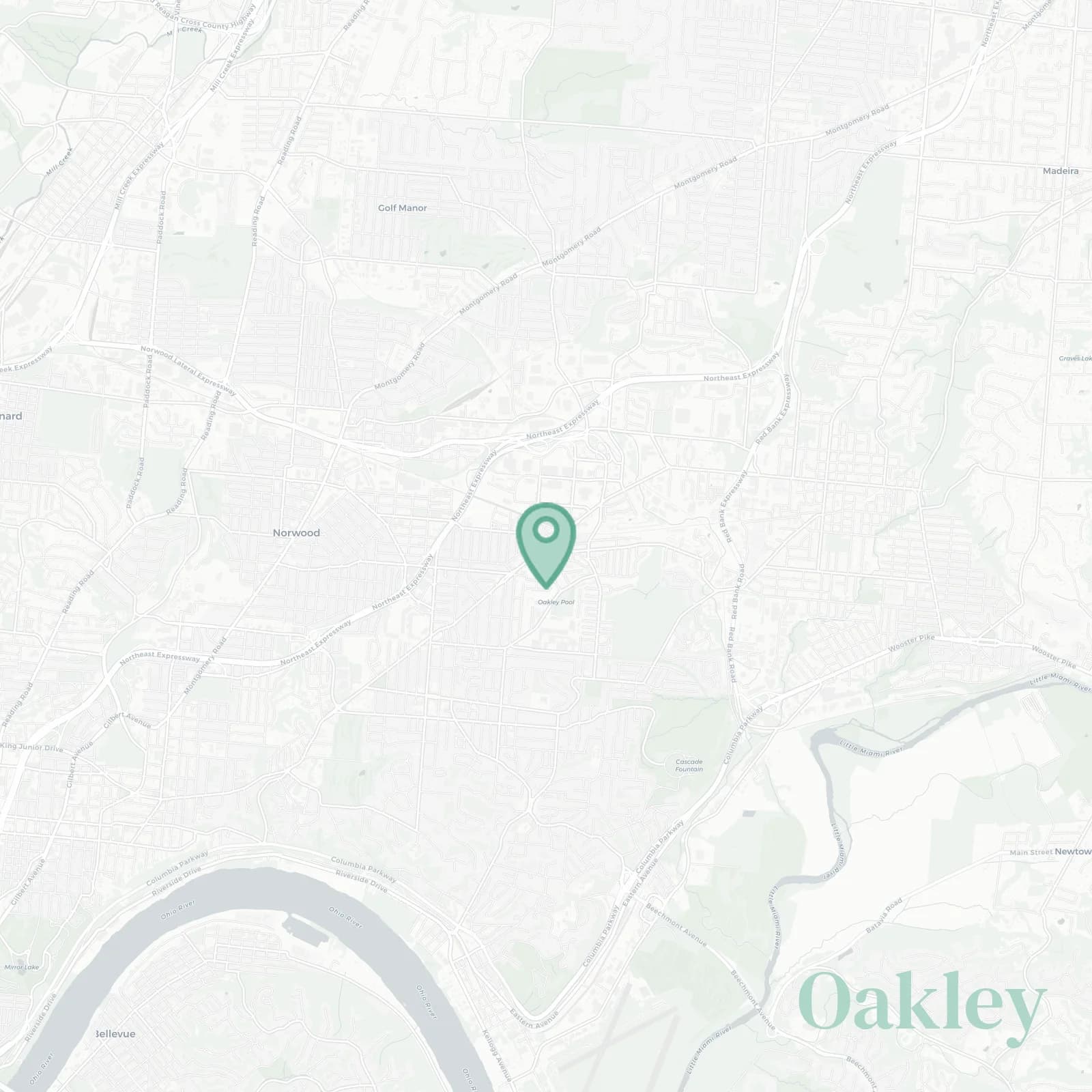
🧭Generally defined as the area: Ridge Road and the Norwood city line to the north, Red Bank Expressway and Madisonville to the east, Wasson Road, the Wasson Way trail, and Hyde Park to the south, I-71, Marburg Avenue, and Evanston to the west
📌Best known for: Oakley Square, MadTree, Dewey's Pizza, and Wasson Way trail for biking and pretending you exercise
👕The neighborhood stereotype is: parents with jogging strollers, MadTree koozies, relentless open house touring in the eternal quest for more square footage
👍Locals live here because: walkable Square, big box bargains, trail to tap weekends and it's cheaper than Hyde Park but you can still brag about the zip code
👎The downside to Oakley is: parking hunger near Square, especially on weekends when everyone shows up, I-71 roar as constant background noise, weekend crowds that make Kroger feel like a contact sport
✨The vibe around Oakley is: breezy, buzzy, stroller and sip with young families who moved here from OTR when they had kids

coffee snobs, stroller squads, heroic Target runs at the Rookwood location that's always inexplicably busy