Laura Gray profile picture
Laura Gray
Virginia Local Expert

Last Modified: January 21, 2026

Norview map

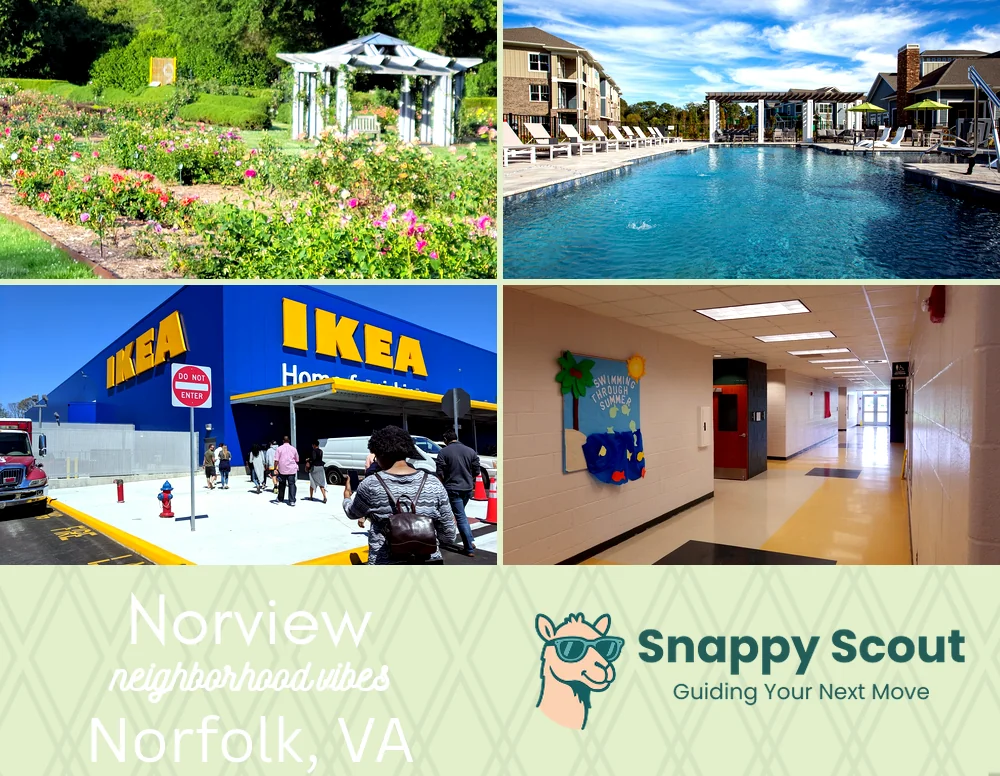
Norview Neighborhood Overview

ORF Jets, Pilot Pride, And Wawa Coffee Runs

🧭Generally defined as the area: North by Chesapeake Boulevard, east by I-64 and the Norfolk International Airport fence line, south by Norview Avenue, west by Military Highway transitioning into Sewells Point Road

📌Widely recognized as the place for: Preflight coffee, postshift crab boils,

👕You can spot a Norview local by: Reflective vests, kids of all ages walking to school, and immaculate carwash shine

👍Locals live here because: Three turn commutes, budget-friendly brick bungalows, mature oak cul-de-sacs

👎Don't say we didn't warn you about: Jet noise, school zones, weekend Speedway traffic

The general vibe is: Blue collar hustle, porch hospitality

Airport hustlers and porch philosophers

Norview neighborhood photo collage
Some of the Norview hotspots include: Norfolk Botanical Garden (nearby), Lake Taylor Park (nearby), IKEA Norfolk (nearby), and Norview Community Center.
Laura Gray profile picture

Laura Gray Virginia Local Expert

At Snappy Scout, I combine lived experience with real neighborhood data to cut through the hype and help you make clearer decisions about where to move.

Snappy Scout logo

Moving to Norview - Make Sense Of Your Next Move

Whether you're new to Norfolk or deciding which part of the city fits you best, Snappy Scout cuts through the noise and shows you what living here is really like. If you're still finding your way, start with our Moving to Norfolk guide for the big-picture view — or compare Norview against other parts of the city in our Norfolk neighborhood guide.