Northstar Neighborhood Overview
4of 16 Truckee Neighborhoods
Ritz, Rink, and Corduroy—S’mores Optional
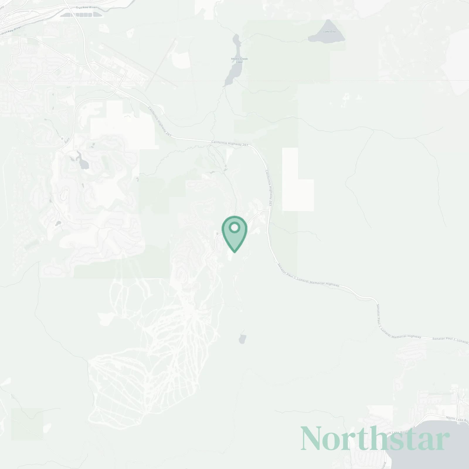
🧭Bordered by: Highway 267 and Martis Valley to the north, Lahontan and Martis Camp to the east, Tahoe National Forest and Mount Pluto ridgeline to the south, Sawtooth Ridge and Truckee River canyon to the west
📌Widely recognized as the place for: buttery groomers, the rink, and Ritz hot toddies
👕You can spot a Northstar local by: Ritz slippers, a Tesla, tiny skis under 170
👍Move here for: ski mornings, mountain bike afternoons, spa by dinner
👎Local flex: Never carrying skis more than 30 feet
✨Don't say we didn't warn you about: HOA fees, weekend traffic on 267, relentlessly cheerful cowbells
The overall feel is: Polished family resort cocoon

pampered powder hounds only