Diane Briante profile picture
Diane Briante
New Jersey Local Expert

Last Modified: January 22, 2026

Mount Pleasant map

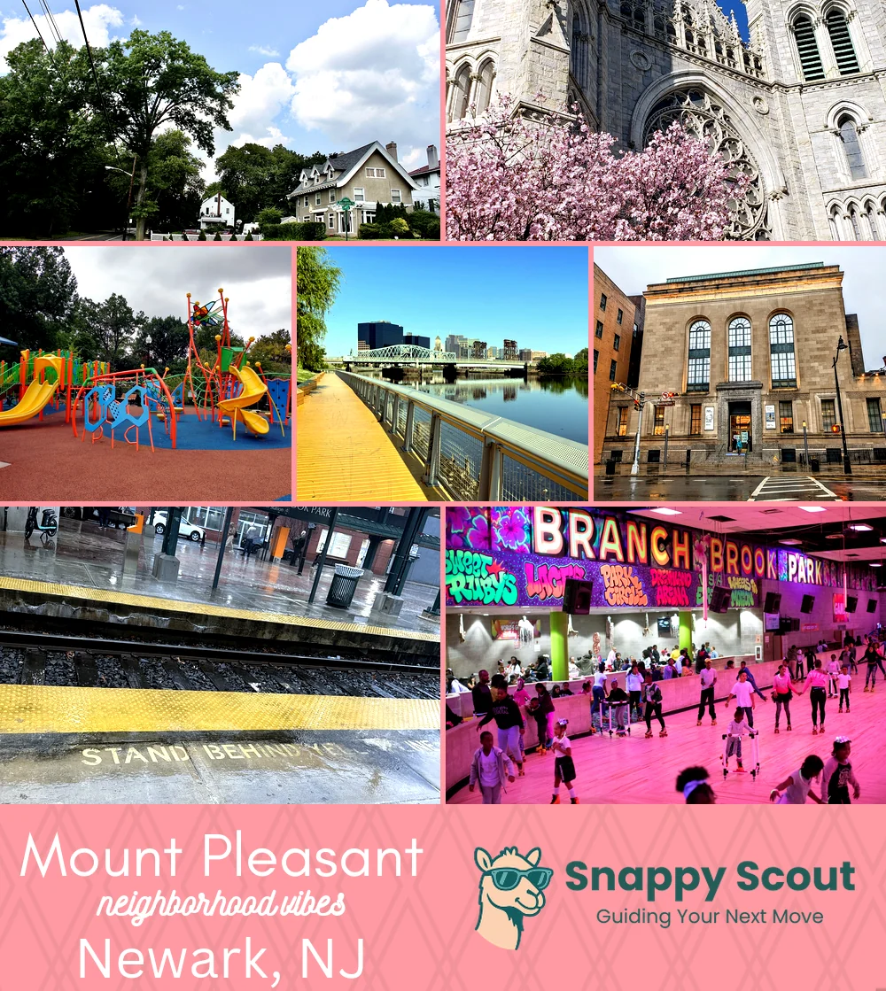
Mount Pleasant Neighborhood Overview

Newark Cliff Views, Cherry Angels

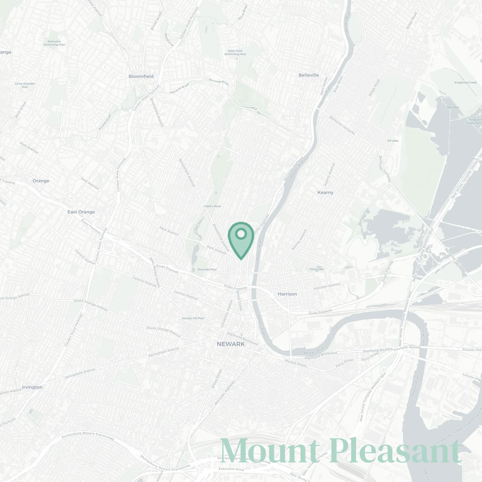
🧭Generally defined as the area: Passaic River east from Clay Street Bridge to Heller Parkway, Branch Brook Park and Mount Prospect Avenue west, Clay Street and 3rd Avenue south, Grafton Avenue and Heller Parkway north, Broadway the spine

📌Well known for: Mount Pleasant Cemetery angels, Broadway bakeries, cherry blossom spillover

👕You can spot a Mount Pleasant local by: folding chairs for parades, bachata playlists, eternal Yankees caps

👍Locals live here because: river breezes, park jogs, and rent that behaves

👎The downside to Mount Pleasant is: Broadway traffic, street sweeping tickets, spring flooding whispers

The general vibe is: Hilly classic North Ward energy

Neighborhood Hotspots: Mount Pleasant Cemetery, Broadway bakeries, Riverfront views

stairmaster calves and riverfront sunrise bragging

Mount Pleasant neighborhood photo collage
Some of the Mount Pleasant hotspots include: Forest Hill Historic District (nearby), Cathedral Basilica of the Sacred Heart, Belleville Park (nearby), McCarter Highway riverfront access, and Newark Museum of Art.
Diane Briante profile picture

Diane Briante New Jersey Local Expert

At Snappy Scout, I combine lived experience with real neighborhood data to cut through the hype and help you make clearer decisions about where to move.

Snappy Scout logo

Moving to Mount Pleasant - Make Sense Of Your Next Move

Whether you're new to Newark or deciding which part of the city fits you best, Snappy Scout cuts through the noise and shows you what living here is really like. If you're still finding your way, start with our Moving to Newark guide for the big-picture view — or compare Mount Pleasant against other parts of the city in our Newark neighborhood guide.