Mount Auburn Neighborhood Overview
Taft Roots, Skyline Views, Siren Sighs
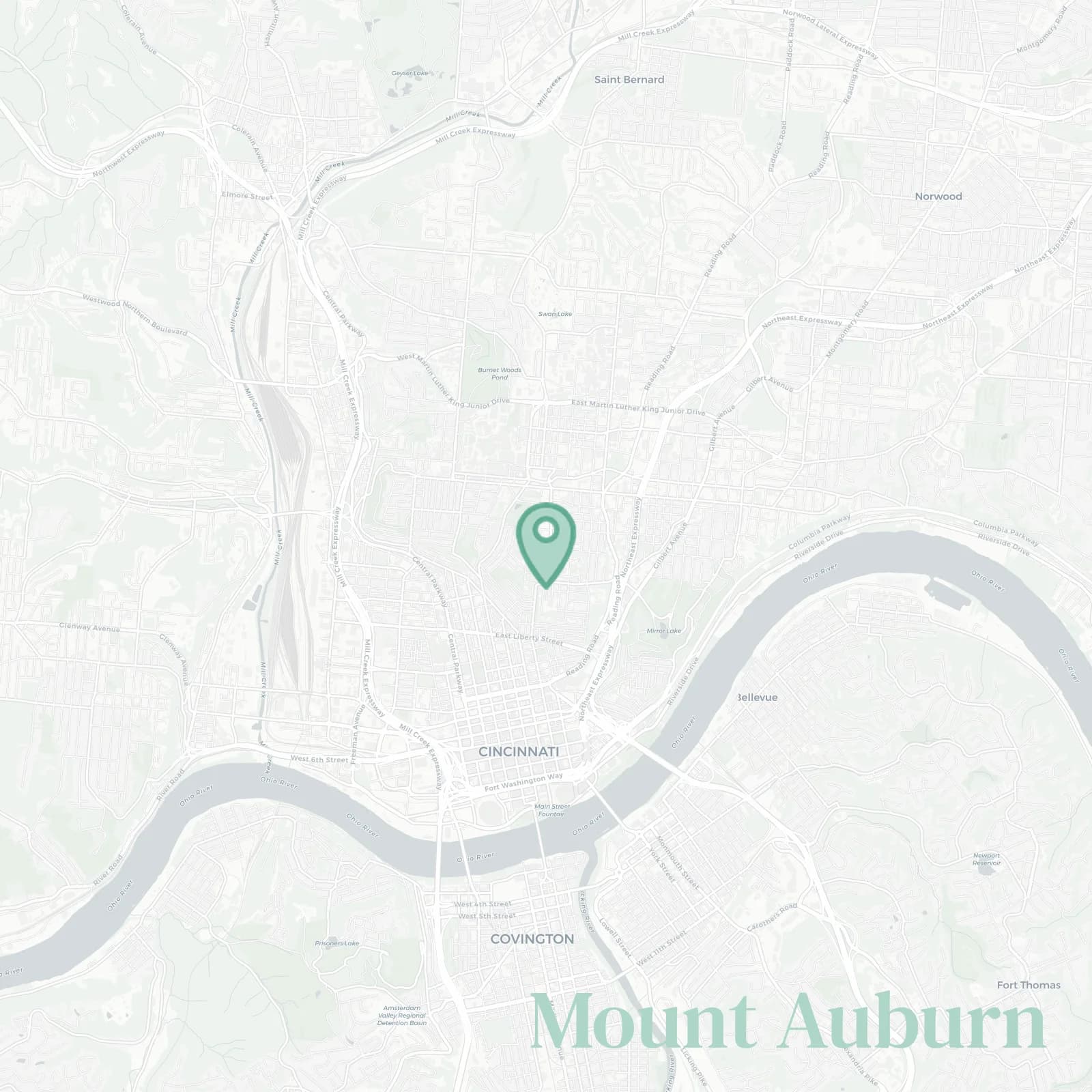
🧭Generally defined as the area: Liberty Street and the Liberty Hill steps to the south, I-71 and Reading Road to the east, Taft and McMillan near Corryville to the north, Ravine Street and Clifton Avenue along the hillside to the west
📌Best known for: Taft's birthplace which is our only president from Cincinnati, Christ Hospital right in the middle of everything, skyline views, ornate porches on houses that deserve magazine spreads but need new roofs
👕You can spot a Mount Auburn local by: scrubs because half the neighborhood works at Christ Hospital, quad strength calves, porch gossip, and suspiciously fancy cats in Victorian windows
👍Move here for: Seven minute downtown zips and mansions priced like fixer fantasies where $200k buys you a project and a dream
👎Be prepared for: sirens at 3am from the hospital that never stops (and we are grateful for our medical workers!), parking roulette, calves burning on Dorchester which is probably the steepest residential street you'll ever attempt
✨The vibe around Mount Auburn is: Victorian drama meets hospital hustle with enough potential to make HGTV cry

Sunset chasers and stair conquering leg day legends who treat Dorchester Street like CrossFit