Mount Airy Neighborhood Overview
Big Woods: Everybody’s Treehouse+Trails.
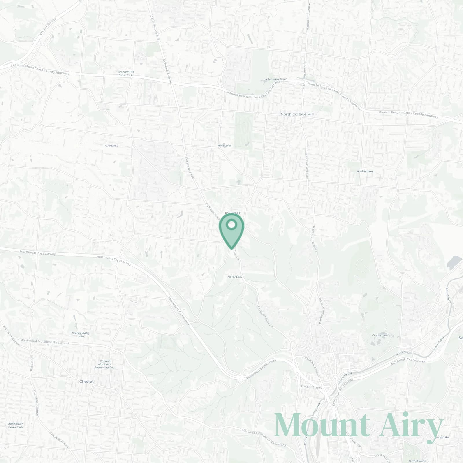
🧭Generally defined as the area: South by I-74 and West Fork Mill Creek valley, east by Colerain Avenue and the Northside edge, north along the Cincinnati city limit near Compton Road with Colerain Township, west by North Bend Road and the Green Township line through Mount Airy Forest
📌Widely recognized as the place for: Mount Airy Forest (1,459 acres of woods right in the city), arboretum blooms, disc golf which has multiple courses for hippies and competitive players alike
👕You can spot a Mount Airy local by: muddy Subarus, flannel, and a pruning saw in trunk, weekends mean trail maintenance
👍Move here for: Quiet hills, trailheads at your back door, west side porch lore and neighbors who've been here forty years
👎The downside to Mount Airy is: Cell reception woeful in hollows like you've time traveled to 2003
✨TLDR;: Woodsy, humble, slightly feral neighborly where deer outnumber people on some streets

Mossy sneakers and backyard bonfire champions who prefer trees to people