Laura Gray profile picture
Laura Gray
Virginia Local Expert

Last Modified: January 21, 2026

Military Circle map

Military Circle Neighborhood Overview

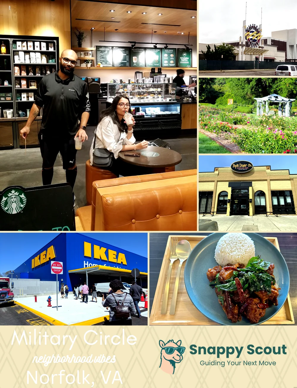
PX Vibes, Mall Rubble, 2AM Waffles

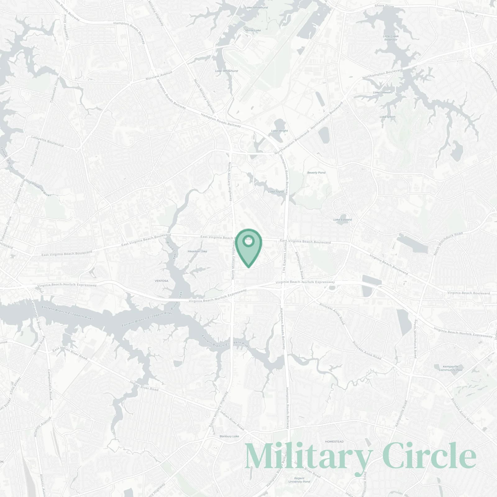
🧭Generally defined as the area: Interstate 64 to the north, Interstate 264 south and west, Virginia Beach Boulevard on the northwest, Kempsville Road at the east, wrapped around North Military Highway and the former Military Circle Mall site

📌Widely recognized as the place for: dead mall legends, big league redevelopment rumors, and Costco deals

👕The neighborhood stereotype is: sneakerhead dads, shipyard shifts, coupon stacks like Bibles

👍Move here if you want: every commute is five exits away, favorite restaurant just around the corner

👎Be prepared for: traffic spaghetti and eternal construction

The vibe around Military Circle is: asphalt chic with comeback energy

retail nostalgists chasing bulldozers and what if energy

Military Circle neighborhood photo collage
Some of the Military Circle hotspots include: Norfolk Premium Outlets (nearby), Military Circle Mall, Norfolk Botanical Garden (nearby), Pop’s Diner Co. (nearby), and IKEA Norfolk (nearby).
Laura Gray profile picture

Laura Gray Virginia Local Expert

At Snappy Scout, I combine lived experience with real neighborhood data to cut through the hype and help you make clearer decisions about where to move.

Snappy Scout logo

Moving to Military Circle - Make Sense Of Your Next Move

Whether you're new to Norfolk or deciding which part of the city fits you best, Snappy Scout cuts through the noise and shows you what living here is really like. If you're still finding your way, start with our Moving to Norfolk guide for the big-picture view — or compare Military Circle against other parts of the city in our Norfolk neighborhood guide.