Matt Rott profile picture
Matt Rott
Hawaii Local Expert

Last Modified: January 5, 2026

Maunawili map

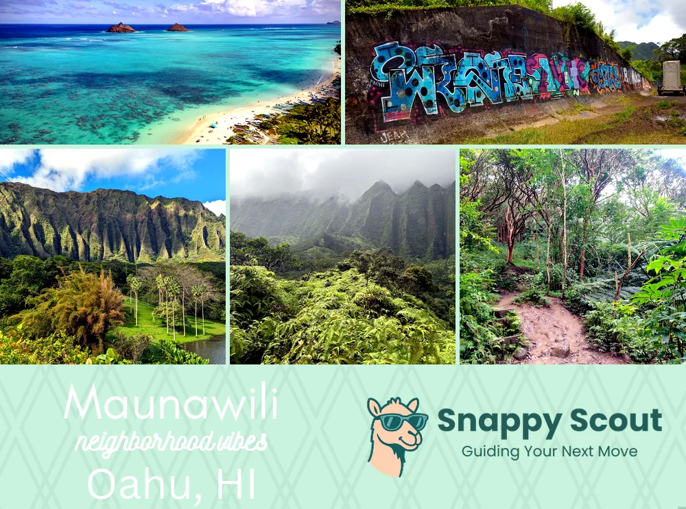
Maunawili Neighborhood Overview

Ko‘olau Mist, Rooster Alarms, Muddy Falls

🧭Bordered by: Ko'olau cliffs and Nu'uanu Pali Lookout to the west, Pali Highway and Old Pali Road to the north, Kawainui Marsh and Kapaa Quarry Road to the east, Mount Olomana, Royal Hawaiian Golf Club, Auloa Road, and Maunawili Road to the south.

📌Best known for: Olomana hikes, waterfall cliff jumps.

👕You can spot a Maunawili local by: Muddy calves, swinging machete.

👍Locals live here because: Valley cool, Kailua convenience.

👎The downsides are: Mosquitoes, traffic crawl on Pali, soggy shoes.

The overall feel is: Jungly.

Jungle mornings, marsh sunsets.

Maunawili neighborhood photo collage
Some of the Maunawili hotspots include: Lanikai Beach (nearby), Kailua Town (nearby), Hoʻomaluhia Botanical Garden (nearby), Maunawili Demonstration Trail, and Maunawili Falls Trail.
Matt Rott profile picture

Matt Rott Hawaii Local Expert

At Snappy Scout, I combine lived experience with real neighborhood data to cut through the hype and help you make clearer decisions about where to move.

Snappy Scout logo

Moving to Maunawili - Make Sense Of Your Next Move

Whether you're new to Oahu or deciding which part of the island fits you best, Snappy Scout cuts through the noise and shows you what living here is really like. If you're still finding your way, start with our Moving to Oahu guide for the big-picture view — or compare Maunawili against other parts of the island in our Oahu neighborhood guide.