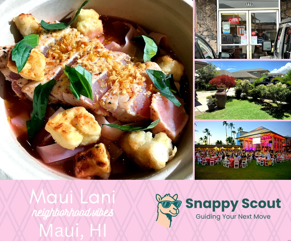
Maui Lani Neighborhood Overview
20of 32 Maui Neighborhoods
Dunes Golf, OGG-Adjacent, Costco Closer
🧭Geographically defined by: The loop of Maui Lani Parkway around The Dunes, south of Kaahumanu Avenue and War Memorial Stadium Complex, west of Puunene Avenue and Keopuolani Park, north of Kuihelani Highway 380 and Waikapu Stream, east of Honoapiilani Highway 30 and Wailuku Sand Hills.
📌Well known for: Suburban sunshine, The Dunes greens.
👕You can spot a Maui Lani local by: Matching pickleball paddles and perfectly timed sprinklers.
👍Move here if you want: Fast commutes, safer streets, and afterschool bike posses.
👎Don't say we didn't warn you about: Trade winds sandblasting your patio and tournament weekend traffic.
✨The vibe around Maui Lani is: Suburban chill with golfer swagger.

Golf carts and Costco runs.