Matt Rott profile picture
Matt Rott
Hawaii Local Expert

Last Modified: January 5, 2026

Maili map

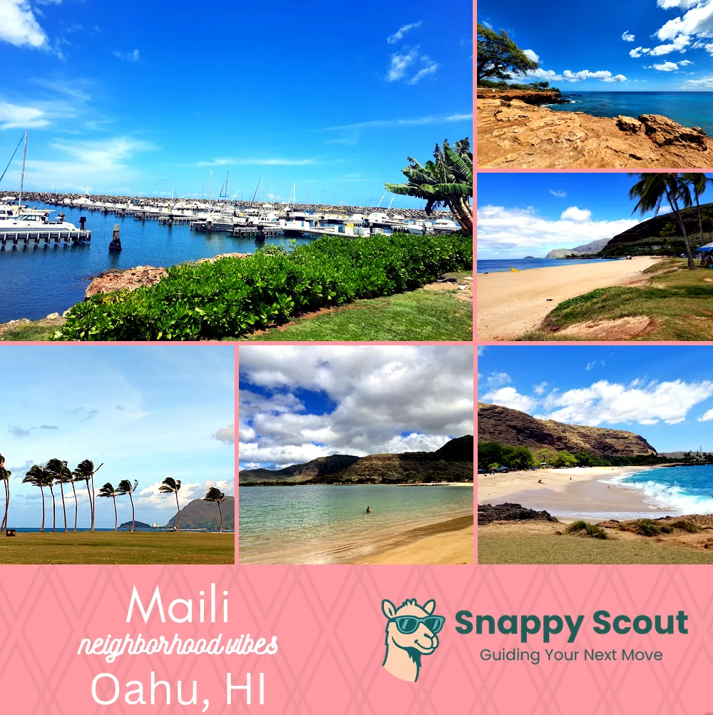
Maili Neighborhood Overview

Pink Pillbox, Westside Sunsets, Local Pride

🧭Geographically defined by: Ulehawa Stream and Nanakuli to the southeast, Paakea Road and Waianae town edge to the northwest, Waianae Range ridgeline and Lualualei Valley uplands to the northeast, Pacific shoreline along Maili Beach Park and Maili Point to the southwest, tied together by Farrington Highway corridor.

📌Well known for: Pink sky sunsets and unforgiving shorebreak.

👕You can spot a Maili local by: Sand-dusted slippers, plate lunch in hand, truck bed chilling.

👍Move here for: Backyard surf checks and budget-friendly rentals.

👎Don't say we didn't warn you about: Traffic crawling Farrington and salt-eaten everything

The overall feel is: Laid back, salty, unapologetically local.

Sunset junkies and snack-fueled beach days.

Maili neighborhood photo collage
Some of the Maili hotspots include: Waianae Boat Harbor (nearby), Kahe Point Beach Park (nearby), Māʻili Beach Park, Māʻili Community Park, and Pokai Bay (nearby).
Matt Rott profile picture

Matt Rott Hawaii Local Expert

At Snappy Scout, I combine lived experience with real neighborhood data to cut through the hype and help you make clearer decisions about where to move.

Snappy Scout logo

Moving to Maili - Make Sense Of Your Next Move

Whether you're new to Oahu or deciding which part of the island fits you best, Snappy Scout cuts through the noise and shows you what living here is really like. If you're still finding your way, start with our Moving to Oahu guide for the big-picture view — or compare Maili against other parts of the island in our Oahu neighborhood guide.