Libbytown Neighborhood Overview
15of 20 Portland Neighborhoods
Planes, Trains, Sea Dogs—Tony’s At 7:10
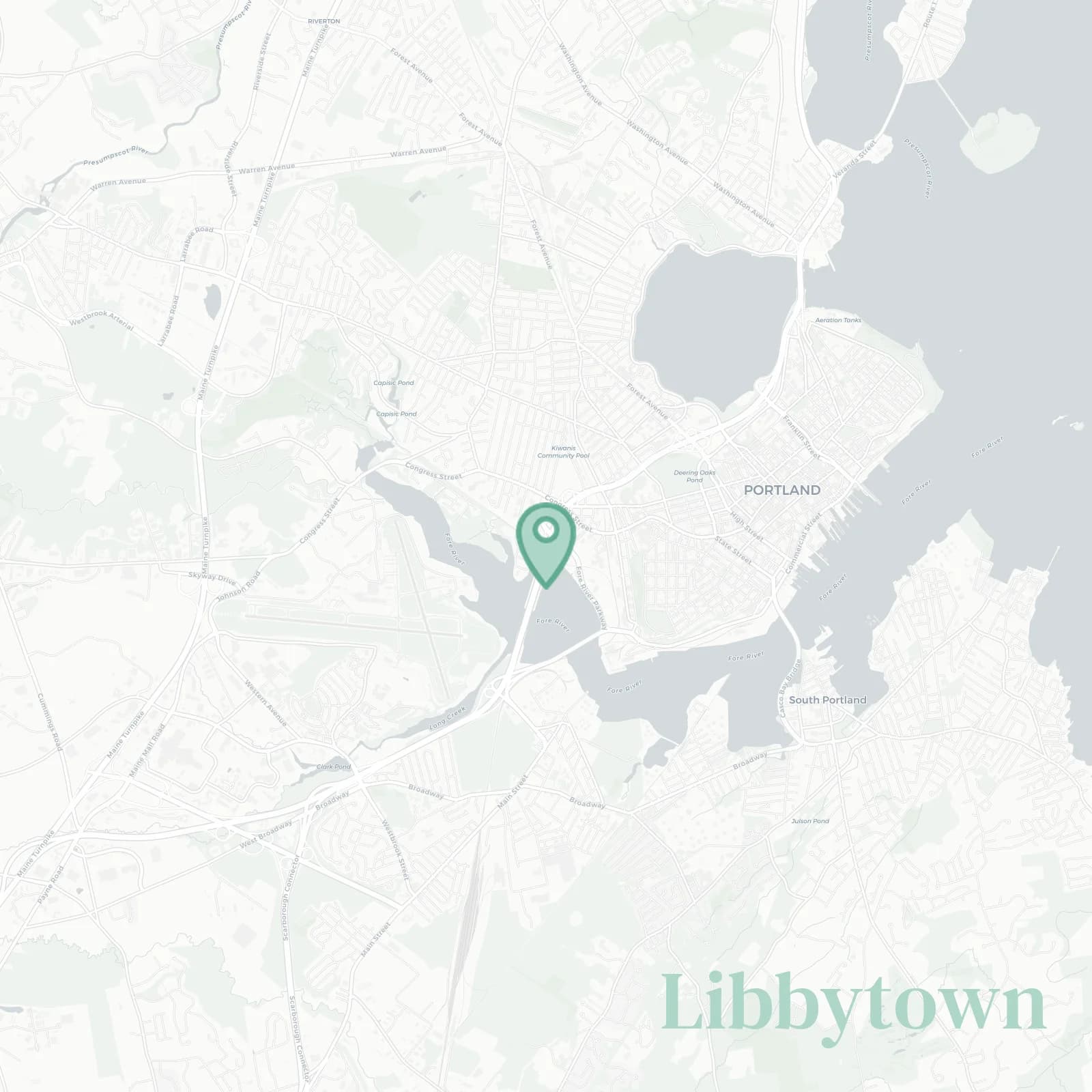
🧭Bordered by: Fore River and Thompson's Point to the south and southeast, I-295 and the rail corridor on the east, Park Avenue and Congress Street along the north, Fore River Parkway, Mercy Fore River campus, and jetport woodlands forming the west
📌Widely recognized as the place for: Sea Dog charity race route and Thompson's Point
👕You can spot a Libbytown local by: Children's Museum merch, USM hoodie, and backpacks with Amtrak schedules
👍Move here for: Walk to Bissell Brothers, bike downtown, bolt to PWM
👎Don't say we didn't warn you about: game day traffic, jet noise, and confusing ramps
✨The overall feel is: Utility chic, surprise riverfront sunsets

frequent fliers with carry-ons as furniture