Matt Rott profile picture
Matt Rott
Hawaii Local Expert

Last Modified: January 8, 2026

Launiupoko map

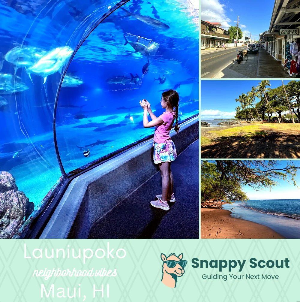
Launiupoko Neighborhood Overview

Baby Breaks, Big Views, Backyard Mangoes

🧭Bordered by: The Pacific and Launiupoko Beach Park to the west, Honoapiilani Highway Route 30 along the shoreline, Puamana and Lahaina town to the north, Olowalu and Ukumehame to the south, the West Maui Mountains, Launiupoko Valley, and agricultural lots upslope to the east, with the Lahaina Bypass Route 3000 running mauka of the highway.

📌Widely recognized as the place for: Launiupoko Beach Park and family surf breaks.

👕You'll fit in if: Lifted Tacoma, sandy toddlers, CSA boxes, paddle board.

👍Locals live here because: Pau hana vibes, yard space, quick Lahaina runs.

👎Don't say we didn't warn you about: Afternoon winds, bypass traffic, wildfire season anxiety.

TLDR: Country luxury with salty hair.

Sun chasers, surf parents, sunset-obsessed drone pilots.

Launiupoko neighborhood photo collage
Some of the Launiupoko hotspots include: Maui Ocean Center (nearby), Front Street (nearby), Launiupoko Valley, and Olowalu Reef (nearby).
Matt Rott profile picture

Matt Rott Hawaii Local Expert

At Snappy Scout, I combine lived experience with real neighborhood data to cut through the hype and help you make clearer decisions about where to move.

Snappy Scout logo

Moving to Launiupoko - Make Sense Of Your Next Move

Whether you're new to Maui or deciding which part of the island fits you best, Snappy Scout cuts through the noise and shows you what living here is really like. If you're still finding your way, start with our Moving to Maui guide for the big-picture view — or compare Launiupoko against other parts of the island in our Maui neighborhood guide.