Laura Gray profile picture
Laura Gray
Virginia Local Expert

Last Modified: January 21, 2026

Lambert's Point map

Lambert's Point Neighborhood Overview

Coal Dust, ODU Bikes, Tugboat Hums

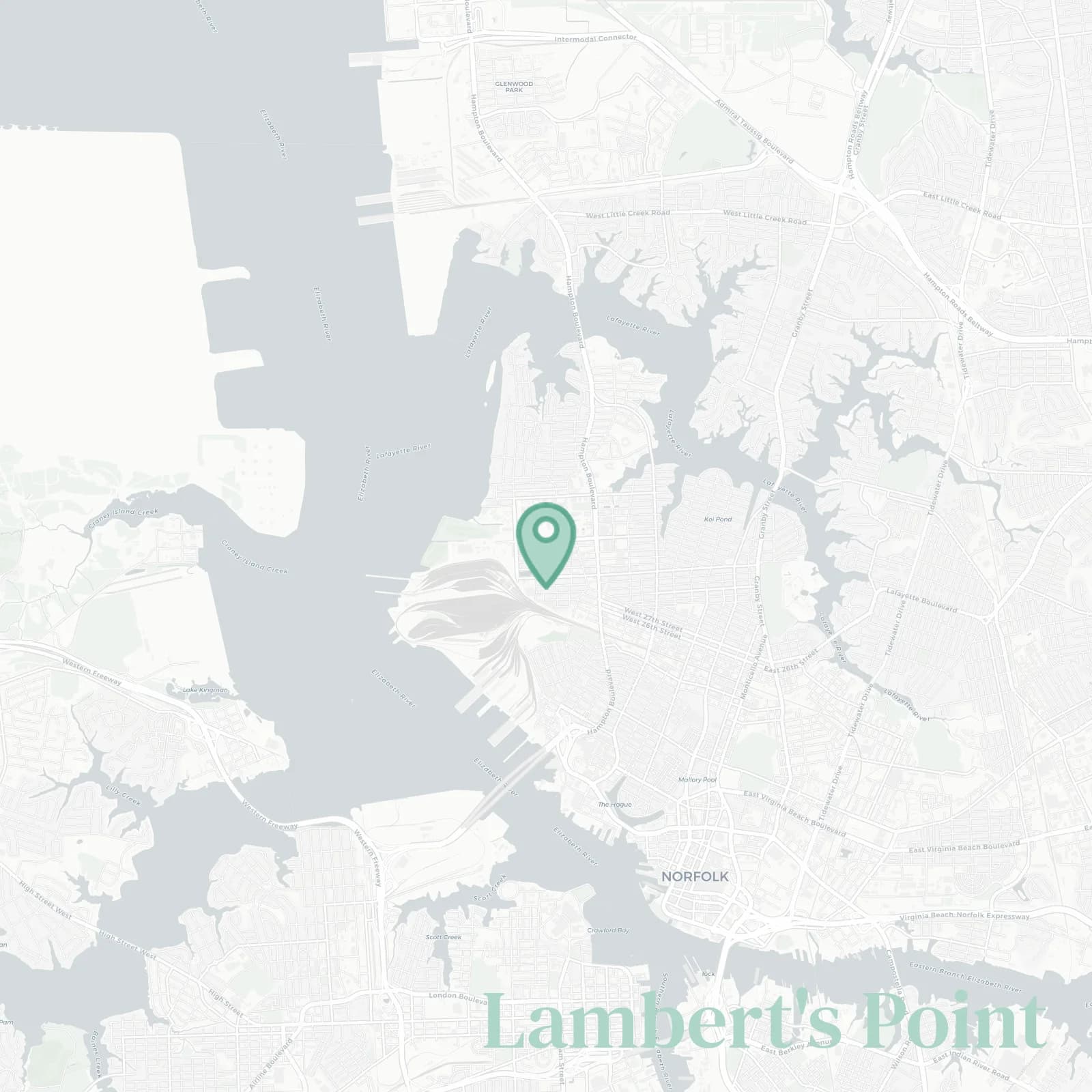
🧭Generally defined as the area: Elizabeth River and rail piers west, 26th Street south, Hampton Boulevard east, 38th Street and ODU campus north

📌Widely recognized as the place for: coal trains rumbling, river sunsets, friendly dog walkers, and rowdy Monarch Saturdays

👕You can spot a Lambert's Point local by: salt-crusted caps, yard grills, and endless train talk

👍Locals live here because: rent stays humane, river access, and five-minute Ghent escapes, walk, run, or bike along the Elizabeth River Trail

👎Don't say we didn't warn you about: coal dust on windowsills, overnight horns, game day parking chaos

The vibe around Lambert's Point is: salty blue collar, student sparkle

students with sea legs and thrifted couches

Lambert's Point neighborhood photo collage
Some of the Lambert's Point hotspots include: Town Point Park (nearby), ODU campus (nearby), Elizabeth River Trail (Lambert’s Point segment), and Big Easy Oyster Bar (nearby).
Laura Gray profile picture

Laura Gray Virginia Local Expert

At Snappy Scout, I combine lived experience with real neighborhood data to cut through the hype and help you make clearer decisions about where to move.

Snappy Scout logo

Moving to Lambert's Point - Make Sense Of Your Next Move

Whether you're new to Norfolk or deciding which part of the city fits you best, Snappy Scout cuts through the noise and shows you what living here is really like. If you're still finding your way, start with our Moving to Norfolk guide for the big-picture view — or compare Lambert's Point against other parts of the city in our Norfolk neighborhood guide.