Laie Neighborhood Overview
31of 54 Oahu Neighborhoods
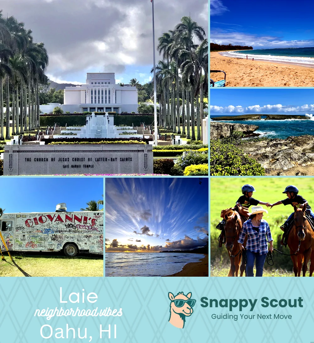
Sea Arches, PCC, BYU Hawaii
🧭Generally defined as the area: South of Malaekahana Stream and Kahuku town, north of Hauula and Hauula Beach Park, west of Laie Bay, Pounders Beach, and Mokuauia offshore, east of the Ko'olau foothills, Laie Ridge, and Laie Falls trail—centered around Kamehameha Highway.
📌Best known for: PCC shows, BYU Hawaii, shining Mormon temple.
👕You can spot a Laie local by: BYU Hawaii lanyards and sandy slippers.
👍Move here for: Kid-safe beaches and multi-generational potlucks.
👎Don't say we didn't warn you about: Sunday hush and long commutes to Town.
✨The overall feel is: Wholesome college coast vibes.

Spirit-filled scholars chasing windy shore breaks.