Matt Rott profile picture
Matt Rott
Hawaii Local Expert

Last Modified: January 8, 2026

Kula map

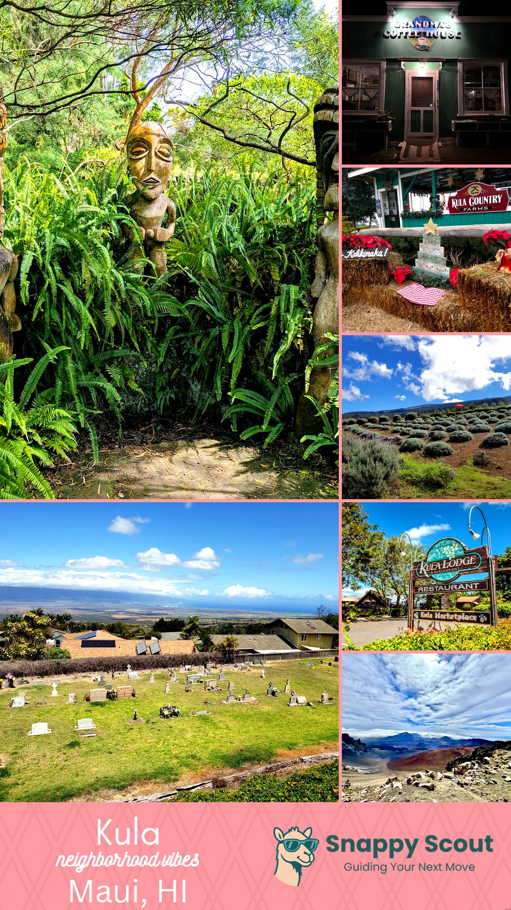
Kula Neighborhood Overview

Upcountry Jacarandas, Goats, Bi-Coastal Views

🧭Generally defined as the area: Slopes of Haleakala bounded mauka by Kula Forest Reserve and Haleakala National Park, south to Keokea and Ulupalakua Ranch, north to Pukalani and Waiakoa, makai down toward Omaopio and Pulehu Roads above central Maui.

📌Well known for: Kula onions, bi-coastal views, and chilly stars.

👕You can spot a Kula local by: Flannel over board shorts, Subaru full of seedlings.

👍Move here for: Crisp nights, garden glory, and the expansive views.

👎Be prepared for: Water restrictions, wildfire season anxiety, and boar raids in gardens.

The vibe around Kula is: Crisp, pastoral, quietly eccentric upcountry.

Goat yoga, lavender selfies, volcano views for days.

Kula neighborhood photo collage
Some of the Kula hotspots include: Kula Botanical Garden, Grandma's Coffee House, Kula Country Farms, Ali'i Kula Lavender Farm, and Holy Ghost Church (Keokea).
Matt Rott profile picture

Matt Rott Hawaii Local Expert

At Snappy Scout, I combine lived experience with real neighborhood data to cut through the hype and help you make clearer decisions about where to move.

Snappy Scout logo

Moving to Kula - Make Sense Of Your Next Move

Whether you're new to Maui or deciding which part of the island fits you best, Snappy Scout cuts through the noise and shows you what living here is really like. If you're still finding your way, start with our Moving to Maui guide for the big-picture view — or compare Kula against other parts of the island in our Maui neighborhood guide.