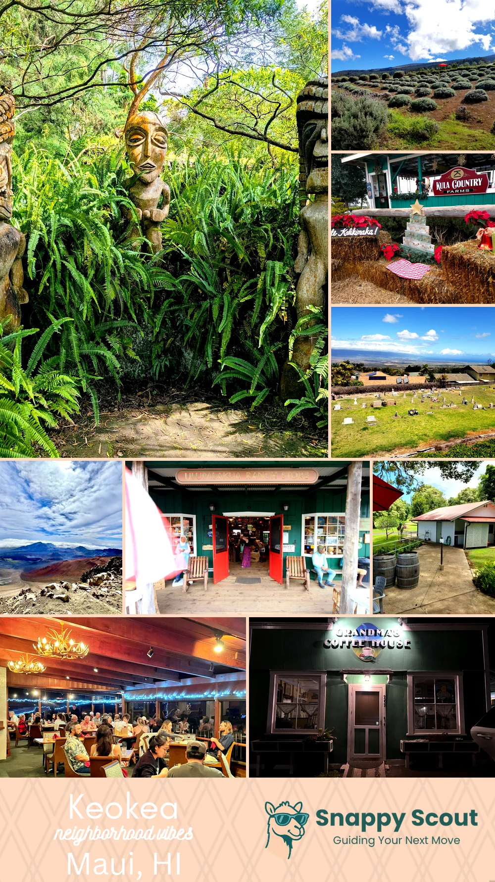
Keokea Neighborhood Overview
27of 32 Maui Neighborhoods
Upcountry Snug, Paniolo Cool, Mile 17 Coffee
🧭Generally defined as the area: Mileposts 16 to 19 along Kula Highway, between Upper Kula Road and Lower Kula Road, north edge around Waiakoa and Waiohuli, south to Thompson Road and Ulupalakua Ranch country, upslope bounded by Waipoli Road into Polipoli and Kula Forest Reserve, downslope falling toward Maalaea views and the Piilani Highway corridor.
📌Best known for: Crisp air, protea, Sun Yat Sen Park.
👕You can spot a Keokea local by: Dusty Subaru, flannel, farm stand shopping.
👍Locals live here because: Cool summer nights, room for orchards and goats.
👎Don't say we didn't warn you about: Morning fog, distance to surf, occasional water restrictions.
✨The vibe around Keokea is: Misty pasture calm.

Flannel lovers chasing jacaranda confetti.