Kapolei Neighborhood Overview
10of 54 Oahu Neighborhoods
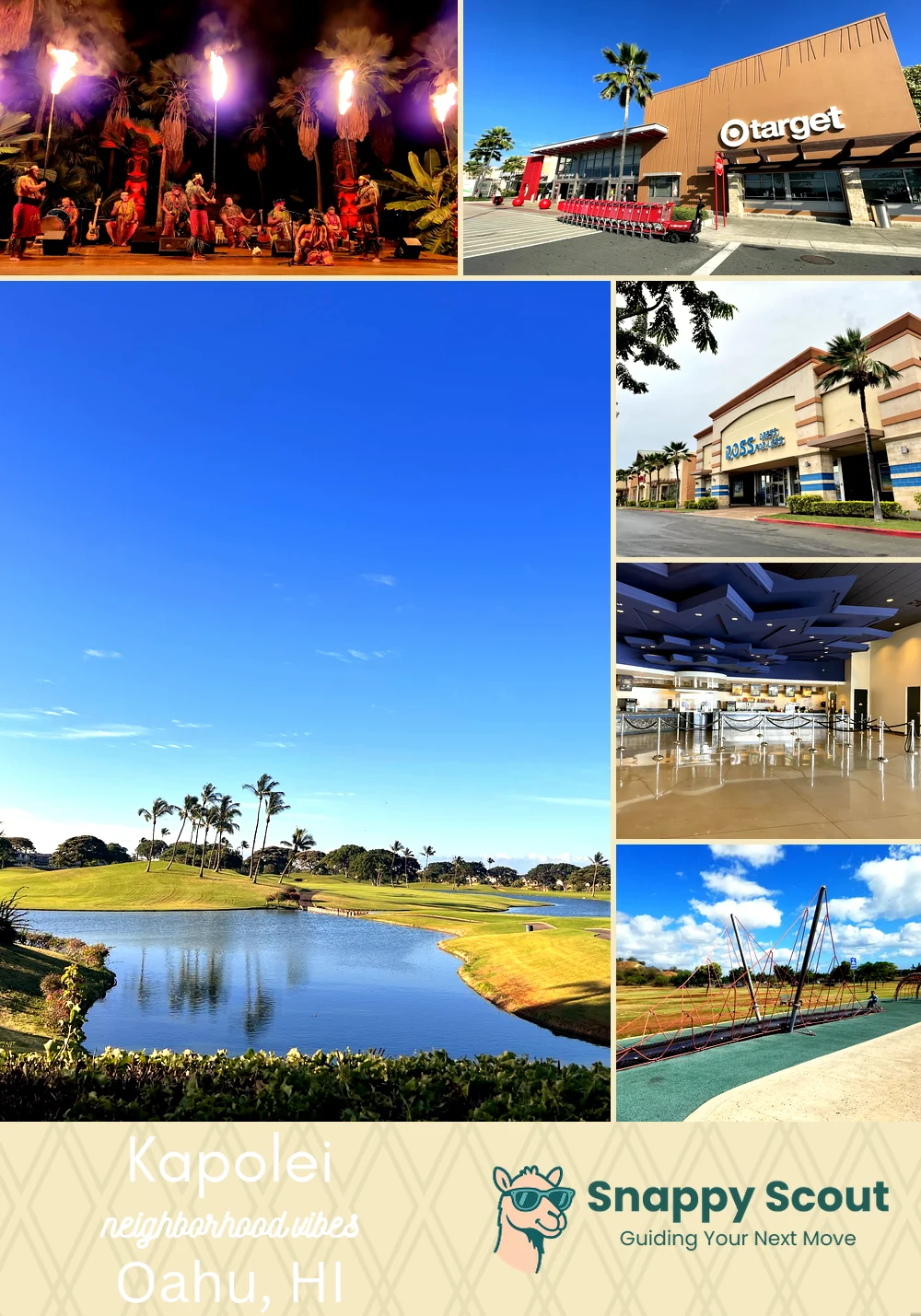
Second City Ka Makana Sprees, Ko Olina Dips
🧭Bordered by: H1 and Makakilo to the north, Kualakai Parkway and Kunia Road to the east, Kalaeloa Airport and Roosevelt Avenue to the south, Farrington Highway to Ko Olina and Campbell Industrial Park to the west.
📌Widely recognized as the place for: Ka Makana Alii sprees, afternoons at Wet'n'Wild, UH West campus.
👕You can spot a Kapolei local by: Sand-dusted SUV, slippers year round, trunk full of beach chairs.
👍Locals live here because: Newer homes, garage space, and Second City swagger.
👎Don't say we didn't warn you about: Afternoon traffic tantrums, summer heat that laughs at sunscreen.
✨TLDR: Shiny suburbs, breezy, Costco proximity.

Families craving suburban sunshine and easy Costco runs.