Hilo Neighborhood Overview
2of 38 The Big Island Neighborhoods
Rain-Soaked Hipsters, Lava Lore, and Mochi Runs
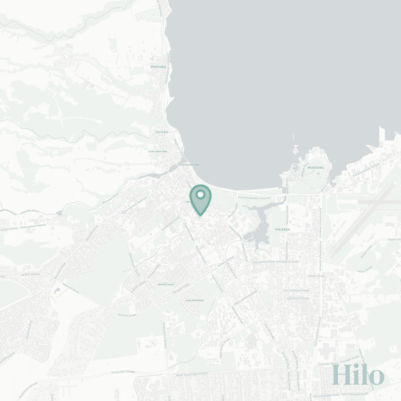
🧭Generally defined as the area: Hilo Bay waterfront to Kaumana slopes, from Wailuku River mouth through downtown to Waiakea, ending near University of Hawaii Hilo and back along Kanoelehua.
📌Best known for: Waterfalls, hippies, farmers market chaos, and moody jungle skies.
👕You can spot a Hilo local by: Slippers, hoodie, yoga mat, umbrella, still somehow drenched.
👍Move here for: Real town life, cheap mangoes, and constant green.
👎Don't say we didn't warn you about: Rain that arrives sideways, then stays all week.
✨TLDR: Wet, cozy, unapologetically local.

Rain loving hippies with loud opinions on poke and ecstatic dance.