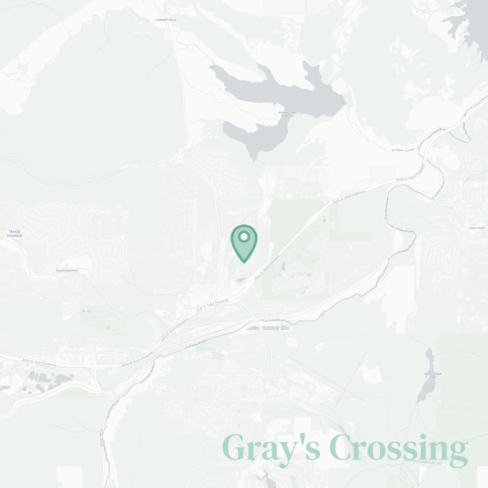
Gray's Crossing Neighborhood Overview
10of 16 Truckee Neighborhoods
PJ's Deck, Fairways, Trailhead Flex
🧭Geographically defined by: Highway 89 west, Prosser Dam Road and Prosser Creek north, Truckee Tahoe Airport open space and Soaring Way east, Interstate 80 corridor and the edge of Downtown Truckee south
📌Best known for: Championship fairways, snowbank tall tales, stunning spring runoff photos
👕You can spot a Gray's Crossing local by: matching puffy vests, kids on scooters, and silent Teslas
👍Locals live here because: Sun drenched afternoons and whisper quiet streets
👎Hidden perk: Close to downtown, but blissfully insulated
✨Don't say we didn't warn you about: Bear bin infractions and spring pollen that stains your car
The overall feel is: Polished mountain suburb with pine

Bike to tee dads and latte ninjas