Laura Gray profile picture
Laura Gray
Virginia Local Expert

Last Modified: January 21, 2026

Fort Norfolk map

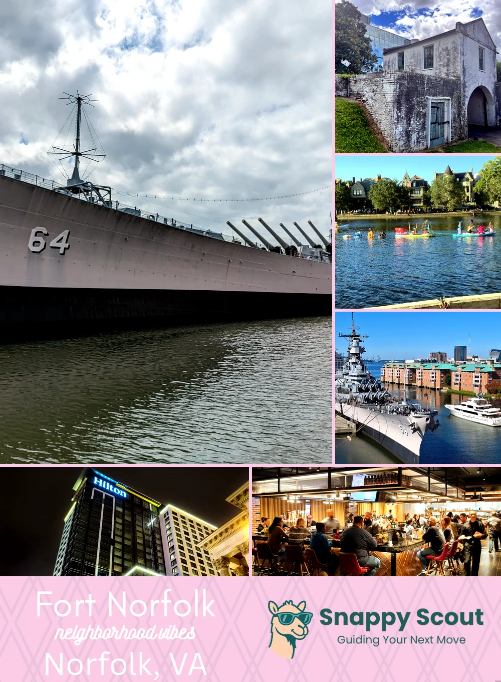
Fort Norfolk Neighborhood Overview

Scrubs, Tugboats, And 1812-Era Swagger

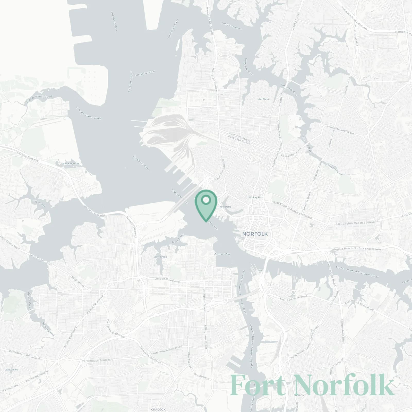
🧭Generally defined as the area: Brambleton Avenue north past EVMS, Colley Avenue and the Hague east, Elizabeth River and Front Street south along piers, Hampton Boulevard with the Midtown Tunnel portal to the west

📌Widely recognized as the place for: EVMS scrubs, Sentara badges, and weekend tours of the actual fort on the Elizabeth River

👕You can spot a Fort Norfolk local by: badge lanyards, paddleboard racks, Tide passes, and coffee addictions

👍Locals live here because: river breezes and zero-minute hospital commutes

👎Don't say we didn't warn you about: sirens, tunnel backups, and gulls with fry grudges

The general vibe is: clinical grit meets breezy waterfront

river geeks, med pros, Tide commuters

Fort Norfolk neighborhood photo collage
Some of the Fort Norfolk hotspots include: Nauticus, Fort Norfolk (historic site), The Hague waterfront walk, USS Wisconsin BB-64, and The Main (Hilton Norfolk).
Laura Gray profile picture

Laura Gray Virginia Local Expert

At Snappy Scout, I combine lived experience with real neighborhood data to cut through the hype and help you make clearer decisions about where to move.

Snappy Scout logo

Moving to Fort Norfolk - Make Sense Of Your Next Move

Whether you're new to Norfolk or deciding which part of the city fits you best, Snappy Scout cuts through the noise and shows you what living here is really like. If you're still finding your way, start with our Moving to Norfolk guide for the big-picture view — or compare Fort Norfolk against other parts of the city in our Norfolk neighborhood guide.