Evanston Neighborhood Overview
King Records Echoes, XU Buzz, Chili Stains
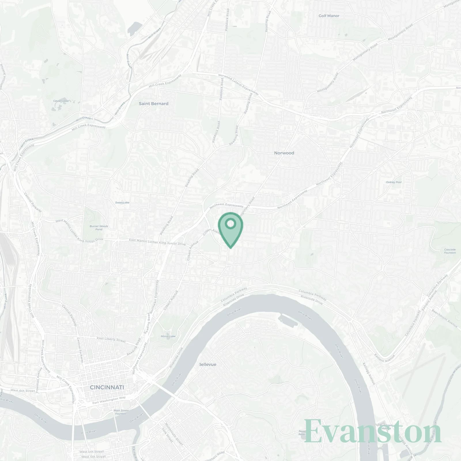
🧭Generally defined as the area: Norwood city line along Dana Avenue and Montgomery Road to the north, I-71 and the Wasson Way tracks to the east, Victory Parkway and East McMillan Street to the south, Reading Road and the CSX rail corridor to the west
📌Widely recognized as the place for: King Records lore and the building's still there on Brewster Avenue, Xavier game days when students flood Montgomery Road, Montgomery Road carryouts where you can get carryout pretty much anything
👕The neighborhood stereotype is: Porch sitting, Reds cap, knows every shortcut to Dana to avoid Montgomery Road traffic
👍Move here for: Tree lined streets, quick I-71 access, rent still reasonable compared to Hyde Park next door
👎Don't say we didn't warn you about: Sirens that are constant from the fire station, train horns because CSX doesn't care what time it is, and parking roulette on Montgomery especially near Xavier campus
✨TLDR;: Gritty, musical, neighborly, porch proud with history that matters even if nobody remembers

Porch philosophers who worship the King Records shrine where James Brown recorded in the 50s and 60s