East Walnut Hills Neighborhood Overview
St. Francis Spire, Woodburn Hype
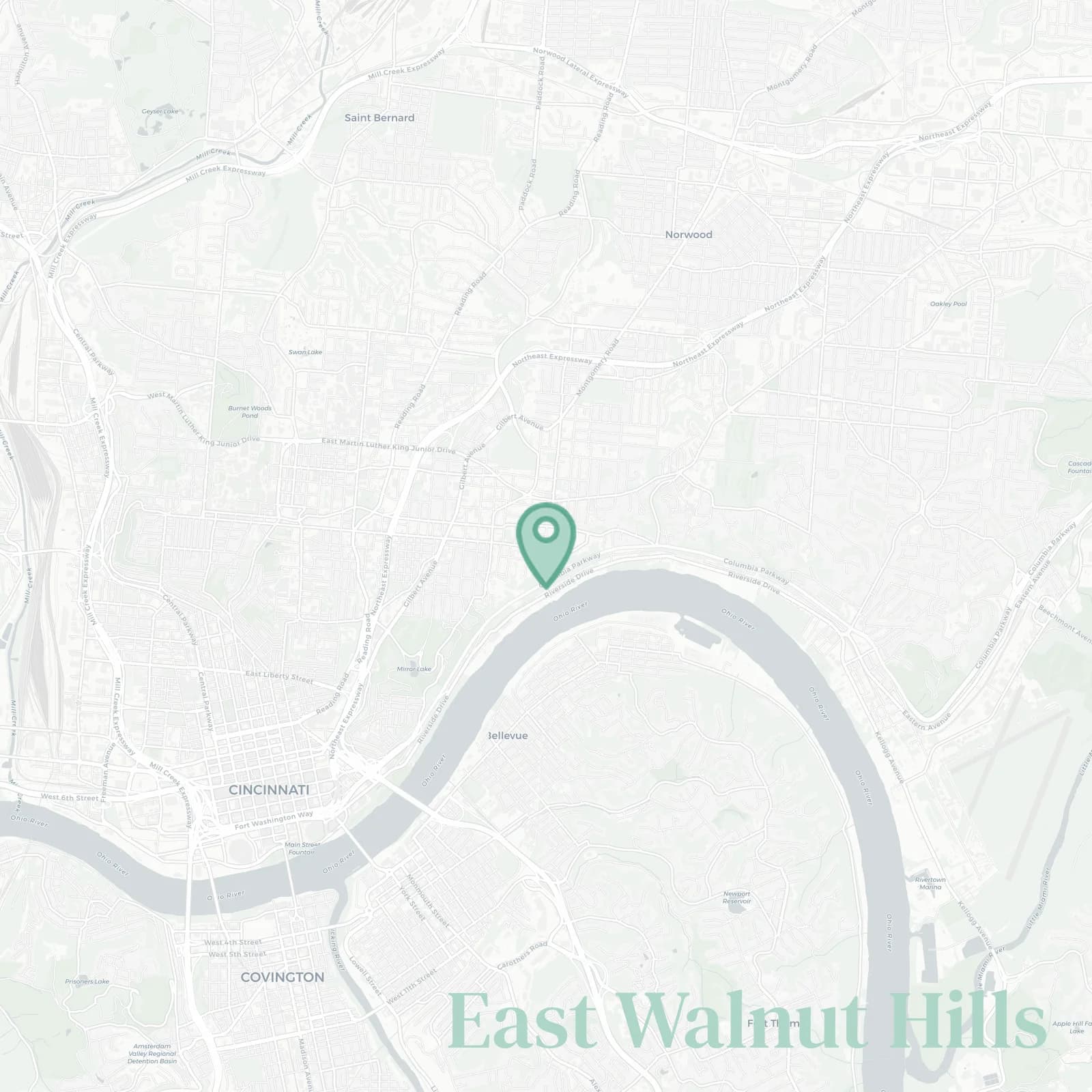
🧭Generally defined as the area: Victory Parkway to the west, Dana Avenue and the Evanston line to the north, Wasson Way rail trail and O'Bryonville toward Hyde Park to the east, Columbia Parkway and the river bluff down to Columbia Tusculum to the south
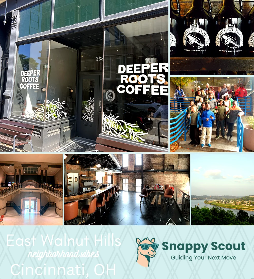
📌Widely recognized as the place for: DeSales Corner nights at Woodburn Brewery where the patio is always packed and painted porch sunrises
👕You can spot a East Walnut Hills local by: rescue dog, tortoiseshell glasses, porch plants, Woodburn latte loyalty and strong opinions about historic preservation
👍Locals live here because: grand architecture with Italianate rowhouses that make you stop and stare, quick downtown, easier airport since Lunken is right there for small planes
👎The downside to East Walnut Hills is: hills because Columbia Parkway climbs forever, leaf blowers which are a symphony of suburban rage every Saturday, and 7 pm parking hunts, speaking of which, good luck finding a spot near Woodburn on weekends
✨The vibe around East Walnut Hills is: Leafy artsy old money cozy

porch cocktails, gallery crawls, skyline sunsets from Ault Park five minutes away