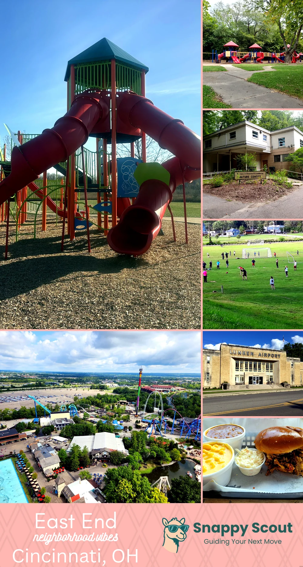
East End Neighborhood Overview
Row Oars, Eli’s Smoke, St. Rose Floodmarks
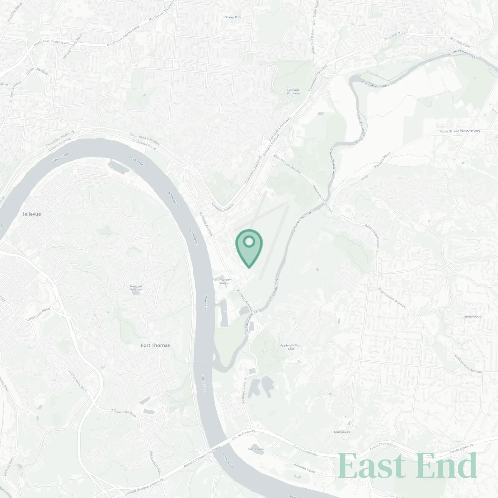
🧭Geographically defined by: The Ohio River to the south, the steep hillside and Columbia Parkway above to the north, from Sawyer Point and the Montgomery Inn Boathouse east along Riverside Drive to the Little Miami River, Beechmont Levee, and Lunken Airport
📌Best known for: Crew shells at sunrise from the boat clubs that line the river and Riverside Drive parades on Fourth of July when the whole neighborhood shows up
👕You can spot a East End local by: Muddy calves, bike grease, and a kayak strapped year-round to a car that's seen better days
👍Move here for: River breezes, cheap yards (actual yards, not postage stamps), and endless sunrises over Kentucky hills across the water
👎The downside to East End is: Flood scares (the sirens go off every spring when the river rises), trains at 3am, mosquitoes with passports bred tough in the river bottoms
✨The vibe around East End is: Rugged river calm meets hustle and nobody cares what you do as long as you wave

Rowers, river dreamers, and porch beer watching barges float by at sunset