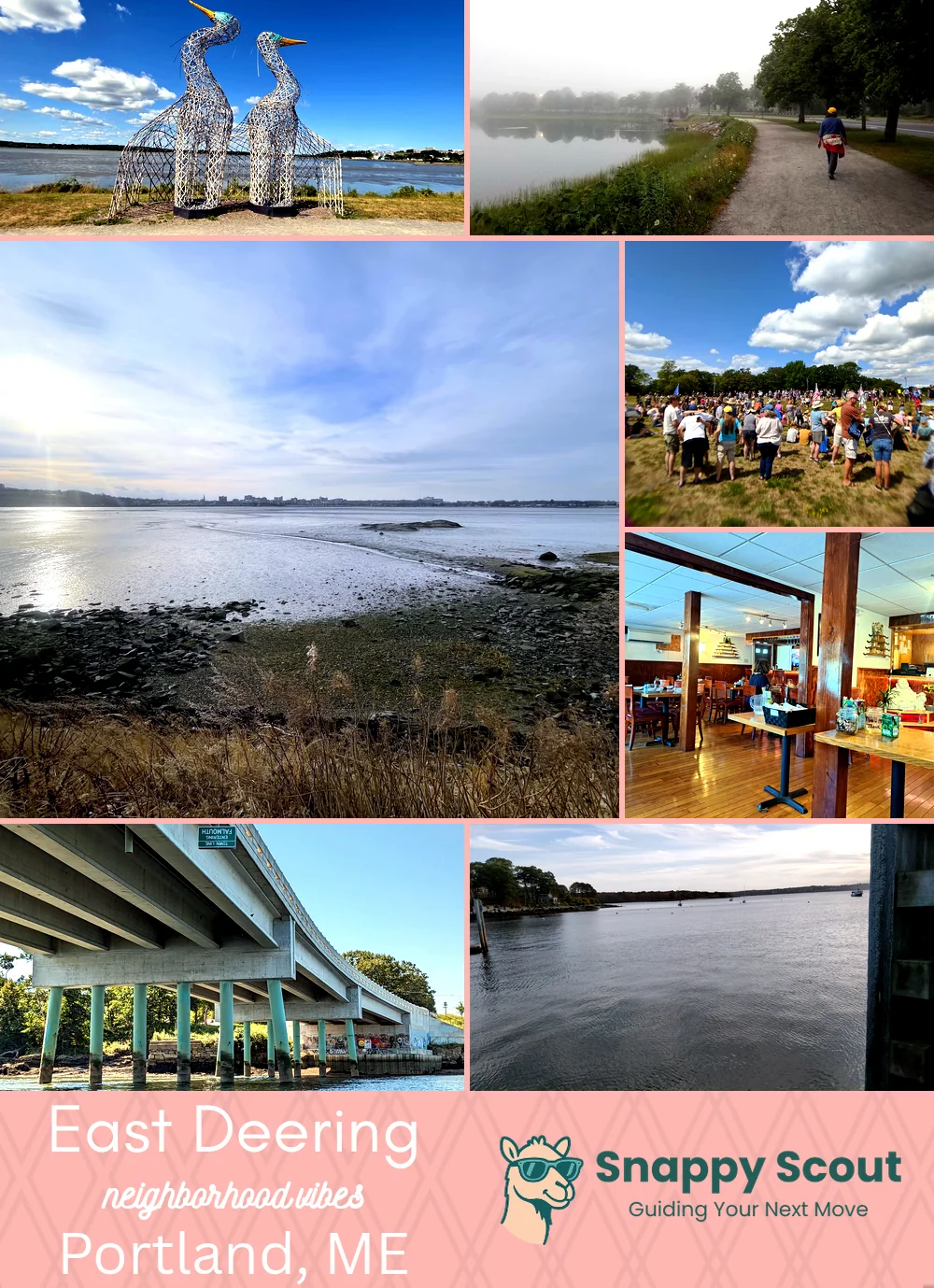
East Deering Neighborhood Overview
Payson Sleds, Cove Loops, Bean Scent
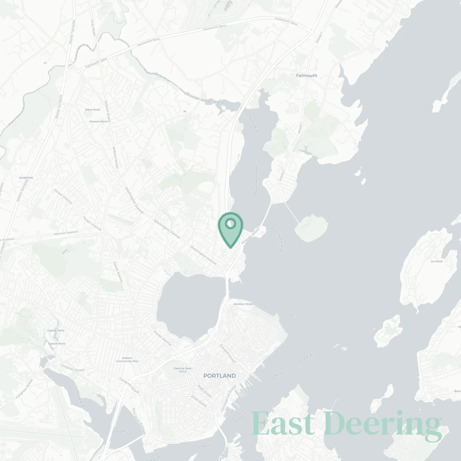
🧭Generally defined as the area: Back Cove and Veranda Street to the south, Tukey's Bridge and I-295 at the cove mouth to the southwest, Presumpscot River marshes and Martin's Point Bridge to the east, US Route 1 and the Falmouth town line to the northeast, Ocean Avenue and Washington Avenue on the west, meeting North Deering near Allen Avenue and Presumpscot Street
📌Widely recognized as the place for: Back Cove sunsets, boat wakes, and Roux Institute startups, quick Route 1 escapes
👕You can spot a East Deering local by: Running shoes, roof racks, and tide charts on fridges
👍Locals live here because: Water breezes, quick downtown hops, rent that still whispers
👎Don't say we didn't warn you about: I-295 hum, squishy mudflats, gulls judging your trash
✨The vibe around East Deering is: Salty, scrappy, commuter-friendly, scenic

Bike nerds, tidewatchers, and true Thai food fans