Downtown Neighborhood Overview
1of 17 Hartford Neighborhoods
Insurance Swagger, Yard Goats, Travelers Tower Guiding You Home
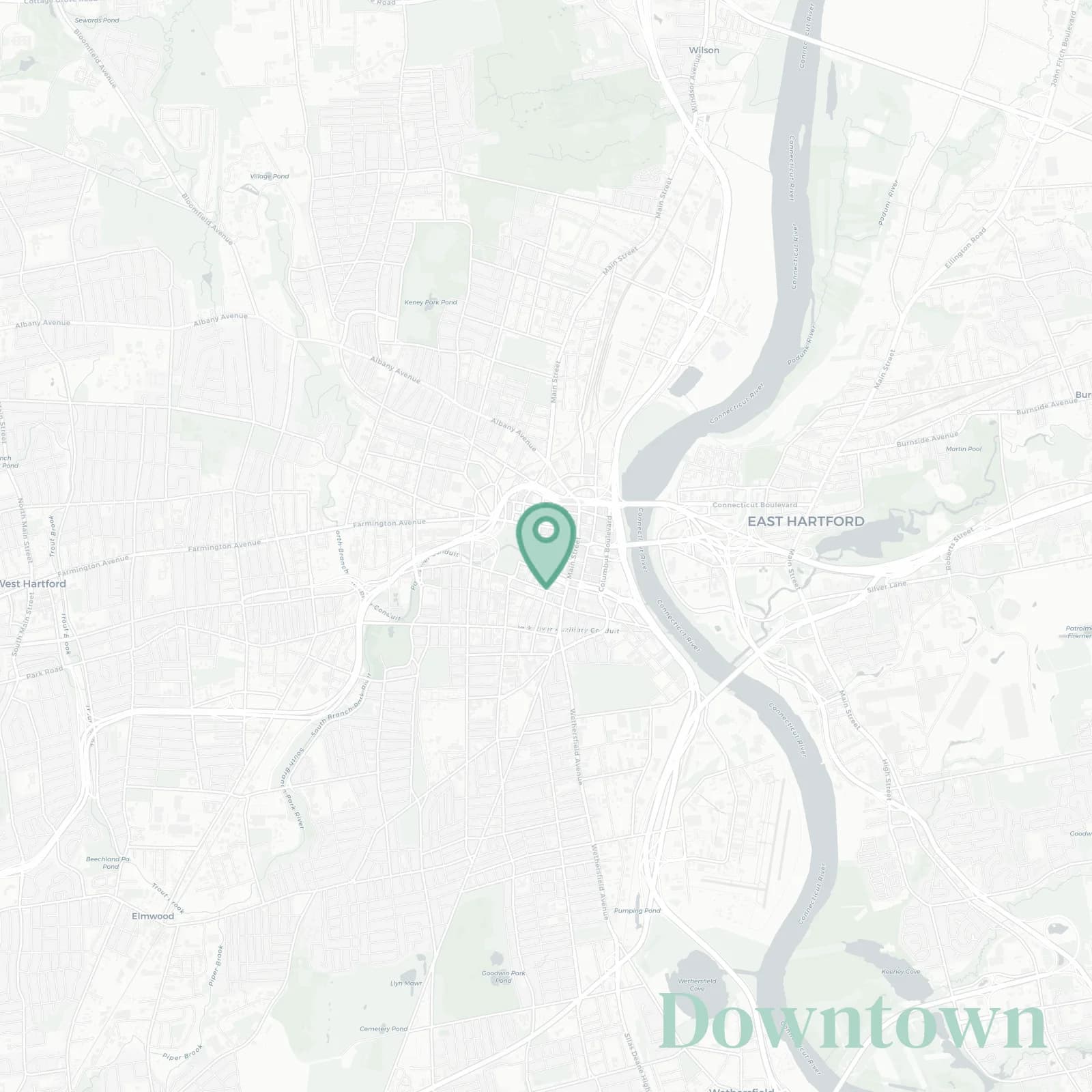
🧭Generally defined as the area: Bordered by I-84 to the north and northwest, I-91 and the Connecticut River to the east, Whitehead Highway and Capitol Avenue to the south, and Bushnell Park to the west.
📌Widely recognized as the place for: Gold domed Capitol views, corporate suits, PeoplesBank Arena nights.
👕You can spot a Downtown local by: Their fast walk, badge lanyard swinging, Dunkin' iced in winter.
👍Move here for: Walkable commutes, courtside seats, riverfront sunsets, zero lawn.
👎The downsides are: Game night traffic, sirens, pricey parking that forgets loyalty.
✨TLDR: High energy, suits, skyline flex.

Power lunchers chasing cocktails and skyline selfies.