Downtown Bakersfield Neighborhood Overview
Where Courthouse Shoes Meet Honky-Tonk Boots
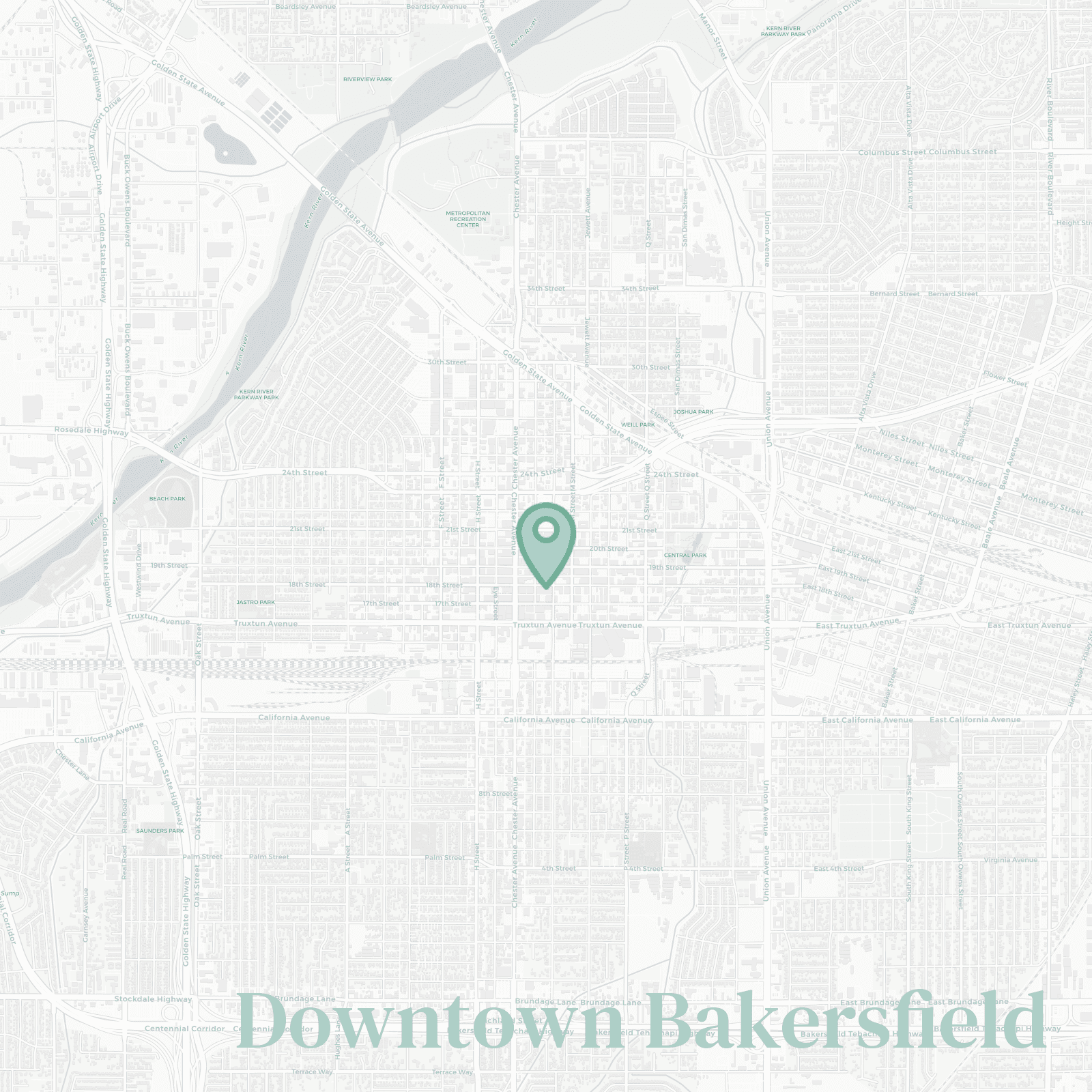
🧭Bordered by: roughly the 178 to the north, Union Avenue to the east, California Ave to the south, and F St to the west (give or take… locals don’t argue the map, they argue the parking).
📌Best known for: Fox Theater shows and government buildings you visit once (and then swear you’ll never come back… until jury duty).
👕You'll fit in if: you actually use the Amtrak station on purpose or you’ve mastered the “quick downtown errand” speed-run.
👍Move here if you want: the closest thing to walkability in a city that forgot what that means... a few blocks of “yes,” surrounded by “get in your car.”
👎The downside to Downtown Bakersfield is: everything closes at 5pm and the sidewalks go from “busy” to “where’d everybody go?” in, like, ten minutes.
✨TLDR;: good bones, weird hours, and you’ll learn which lots actually make sense fast.

lawyers, county workers, night-owl bar people, and anyone who lives for a Fox Theater night

